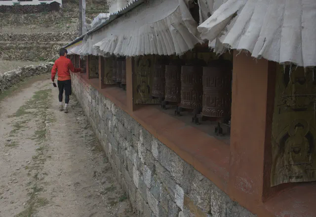
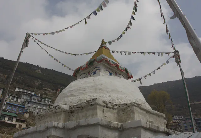
Trekking in the Khumbu: Gokyo, Cho La and Everest Base Camp
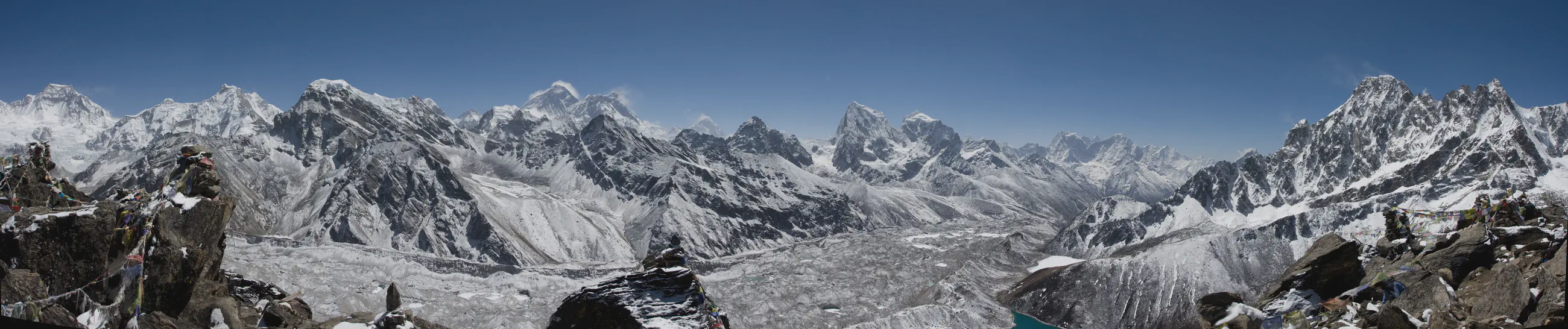
Eighteen days in the Khumbu
View 34 photos- Distance
- 166.1km
- over 18 days
- Ascent
- 9,367m
- 8,739 m of descent
- Total walking time
- 47 h 23
- High point
- 5,605m
- low point 3,317 m
- Season
- Spring
- April 2008
From Gokyo Ri to Kala Patthar
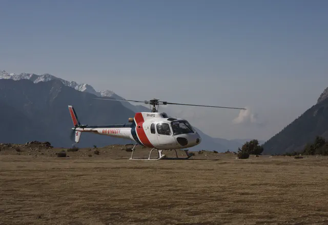
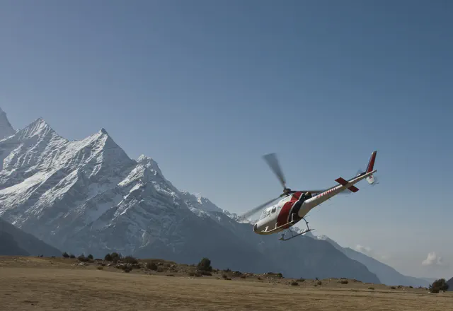
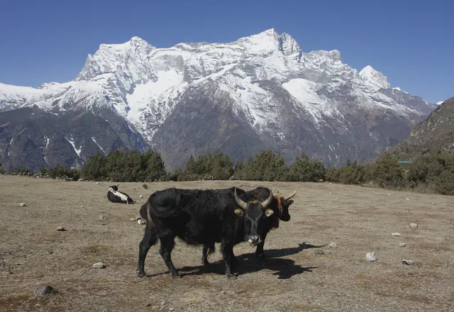
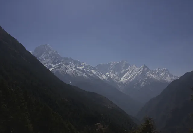
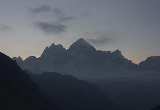
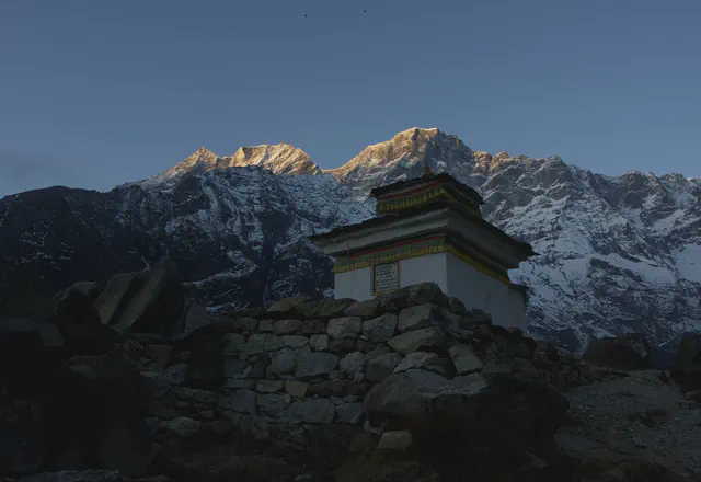
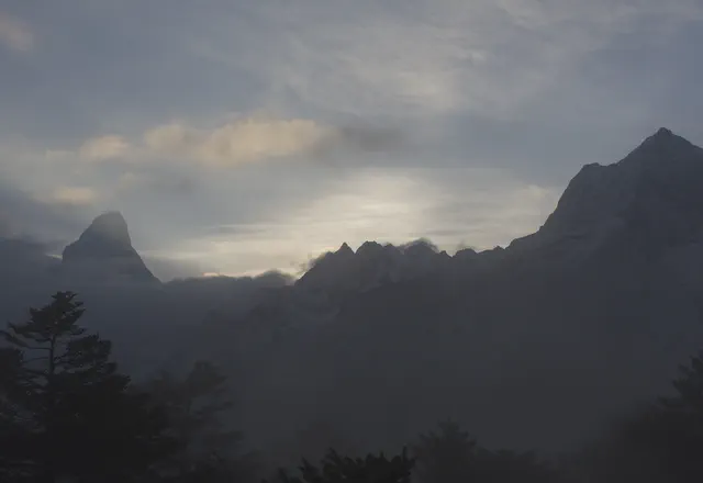
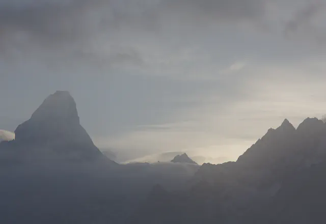
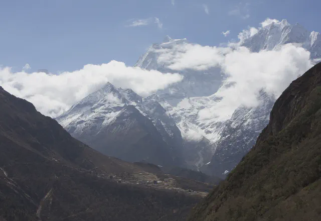
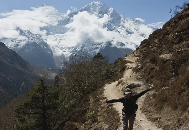
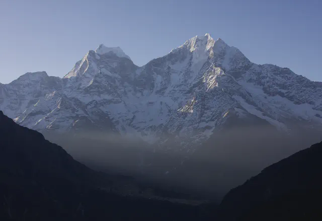
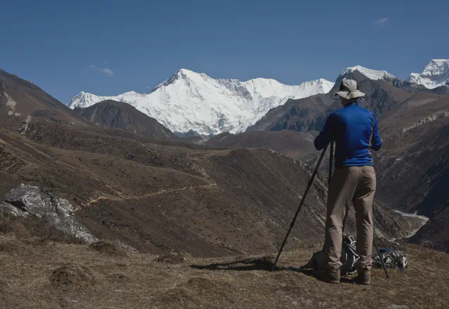
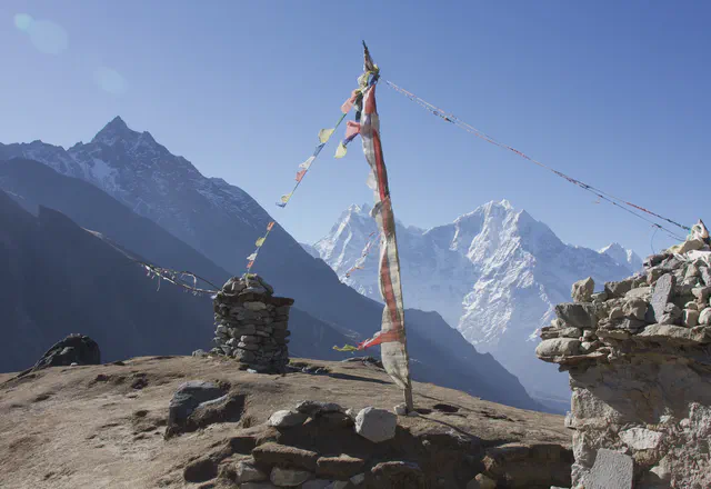
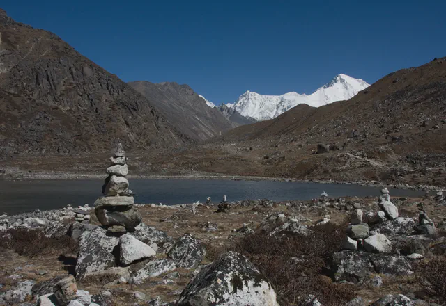
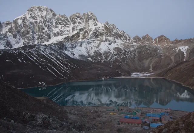
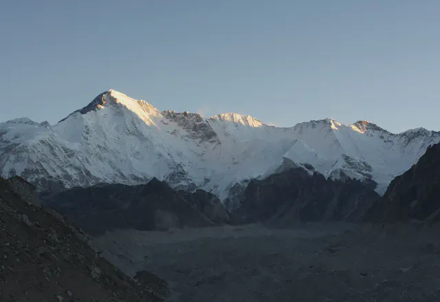
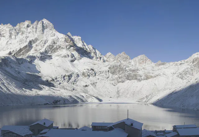
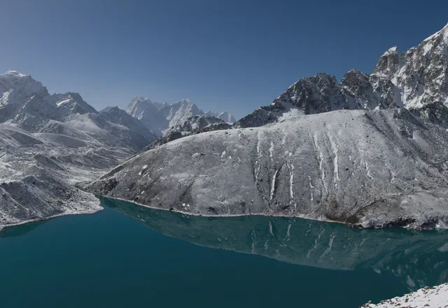
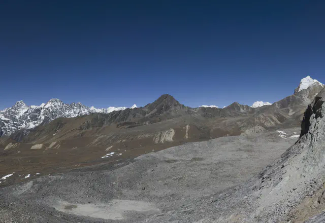
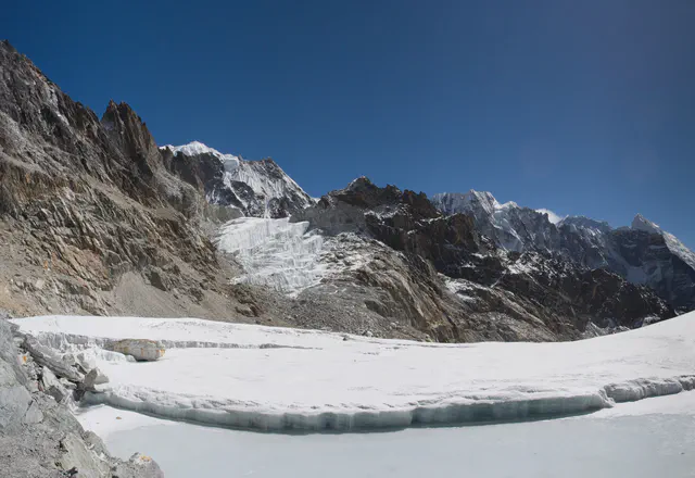
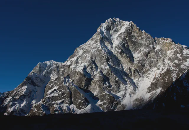
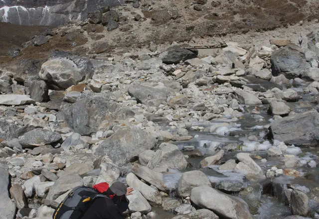
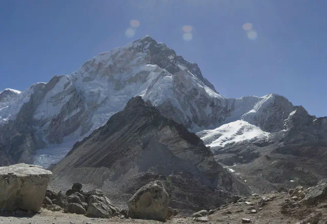
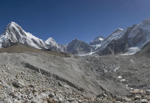
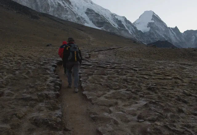
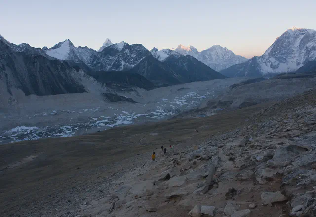
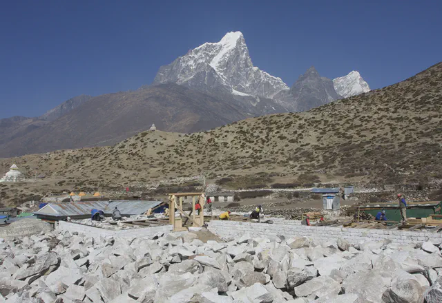
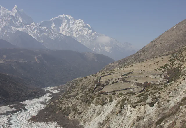
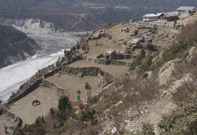
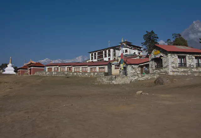
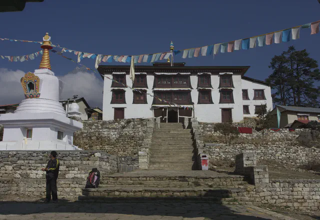
From 9 to 26 April 2008, eighteen days in the Khumbu, the Everest region, with a guide and three porters from the Kathmandu agency Trekking Team. In and out by helicopter from Syangboche, above Namche Bazaar. The trek goes through Thame, the Gokyo valley and its lakes, Gokyo Ri, the Ngozumpa glacier, the Cho La pass, Lobuche, Gorak Shep, Everest Base Camp and Kala Patthar, then down through Dingboche, Tengboche and Namche.
The GPS track of this trek is incomplete: the Garmin’s log, limited to about 10,000 points, overwrote the first days, and no point remains from 17 to 21 April. The missing stages were rebuilt from the times of the photos, the waypoints marked on the GPS during the trek and a GPS track recorded on the same trails in October 2008. On the maps, these parts are dotted.
The days
Map and profile
Download 18 GPX files
- D1 · 2008-04-09.gpx
- D2 · 2008-04-10.gpx
- D3 · 2008-04-11.gpx
- D4 · 2008-04-12.gpx
- D5 · 2008-04-13.gpx
- D6 · 2008-04-14.gpx
- D7 · 2008-04-15.gpx
- D8 · 2008-04-16.gpx
- D9 · 2008-04-17.gpx
- D10 · 2008-04-18.gpx
- D11 · 2008-04-19.gpx
- D12 · 2008-04-20.gpx
- D13 · 2008-04-21.gpx
- D14 · 2008-04-22.gpx
- D15 · 2008-04-23.gpx
- D16 · 2008-04-24.gpx
- D17 · 2008-04-25.gpx
- D18 · 2008-04-26.gpx