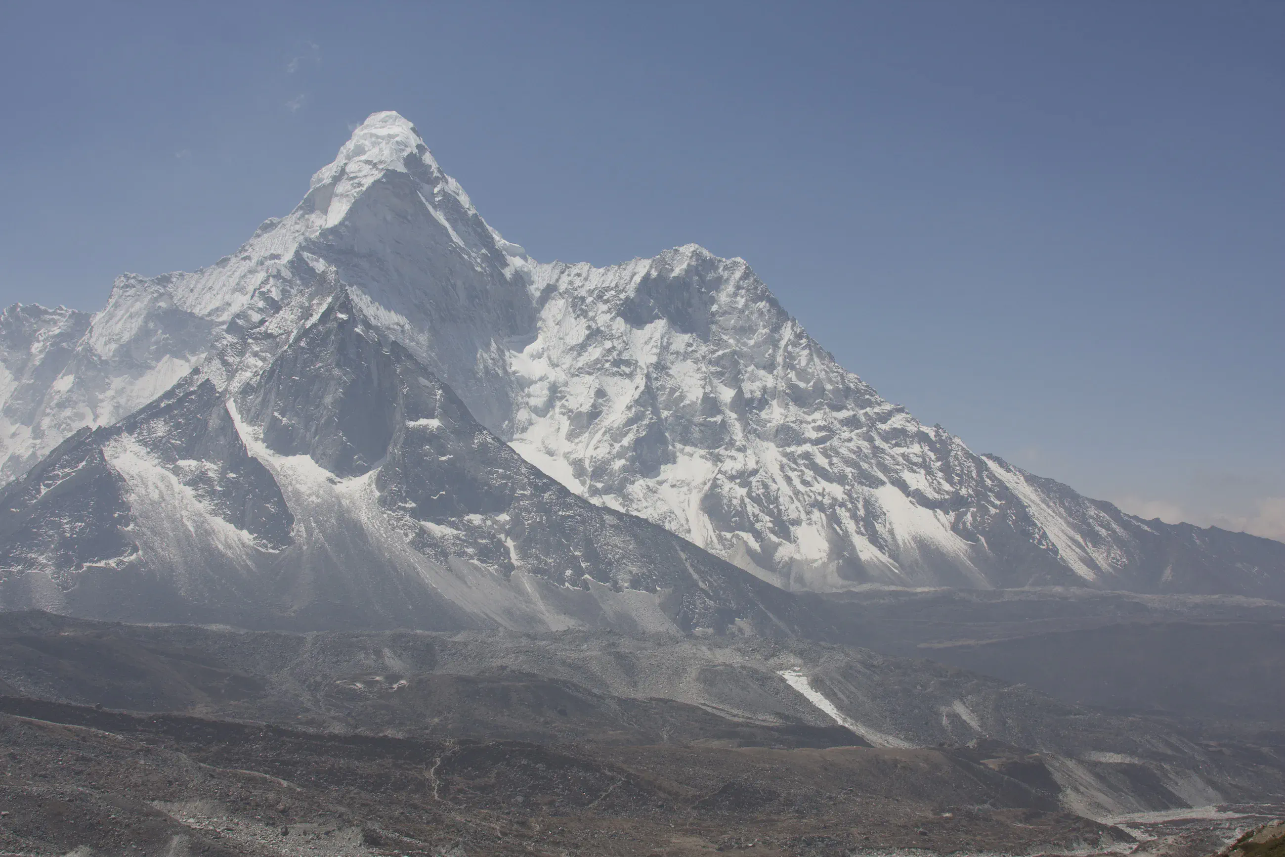
Dingboche – Imja valley – Dingboche
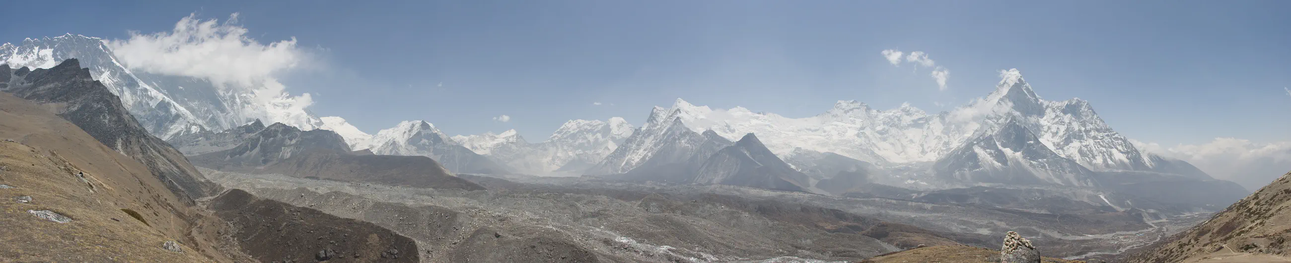
Up the Imja valley
View 5 photos- Distance
- 11.8km
- Ascent
- 821m
- 613 m of descent
- Walking time
- 3 h 06
- 5 h 31 with breaks
- High point
- 5,027m
- low point 4,220 m
- Season
- Spring
- April 2008
Up the Imja valley
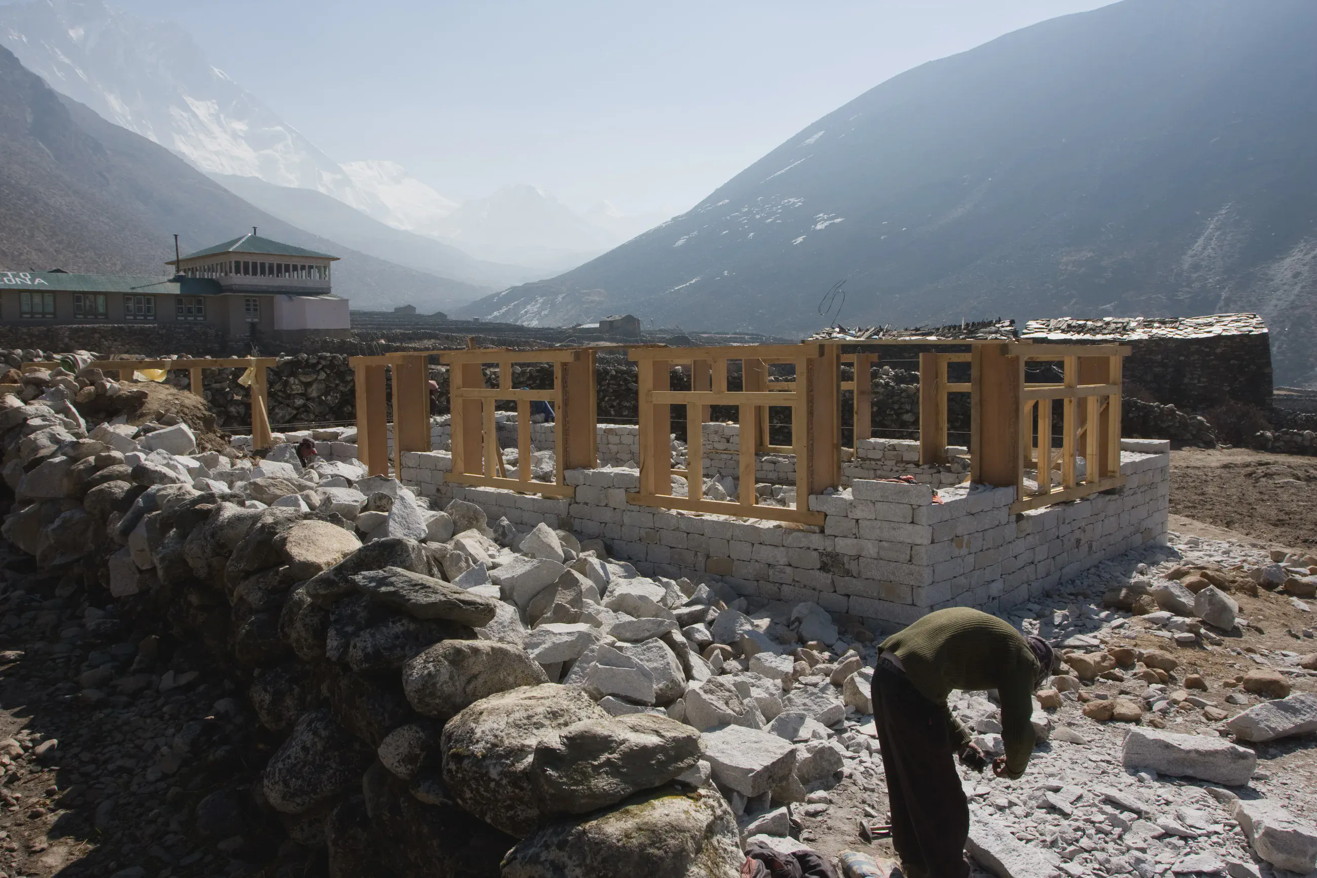
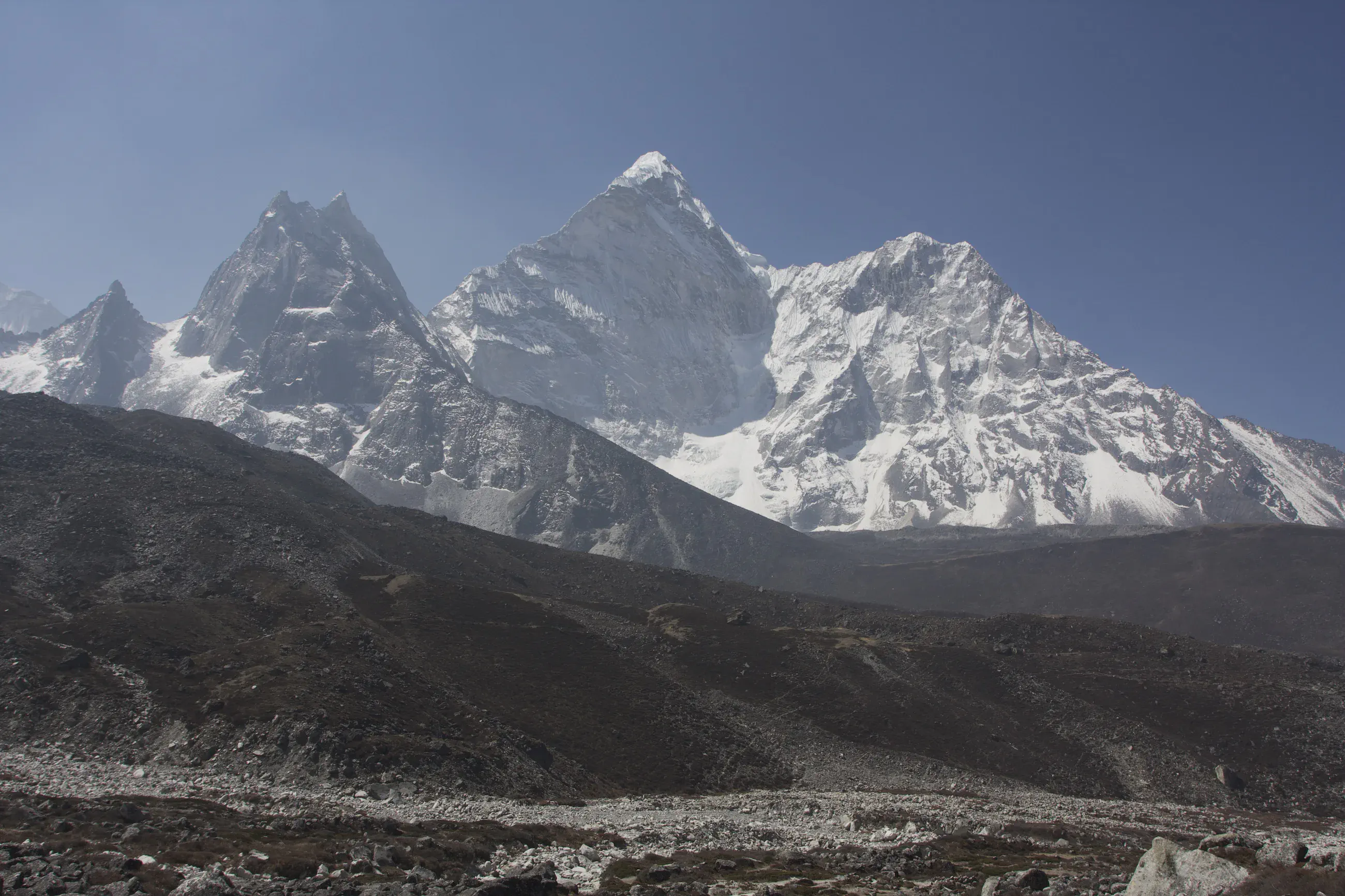
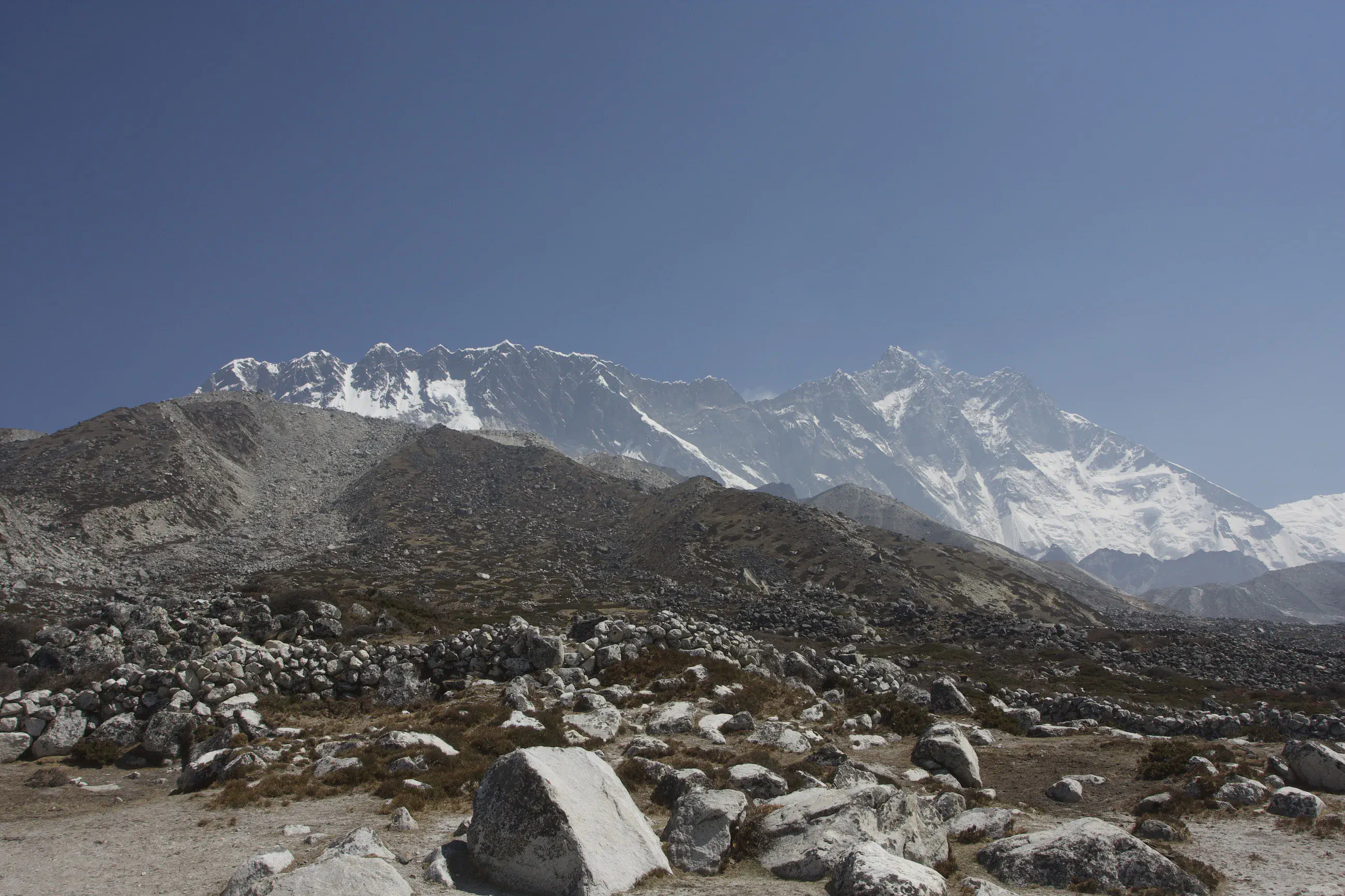
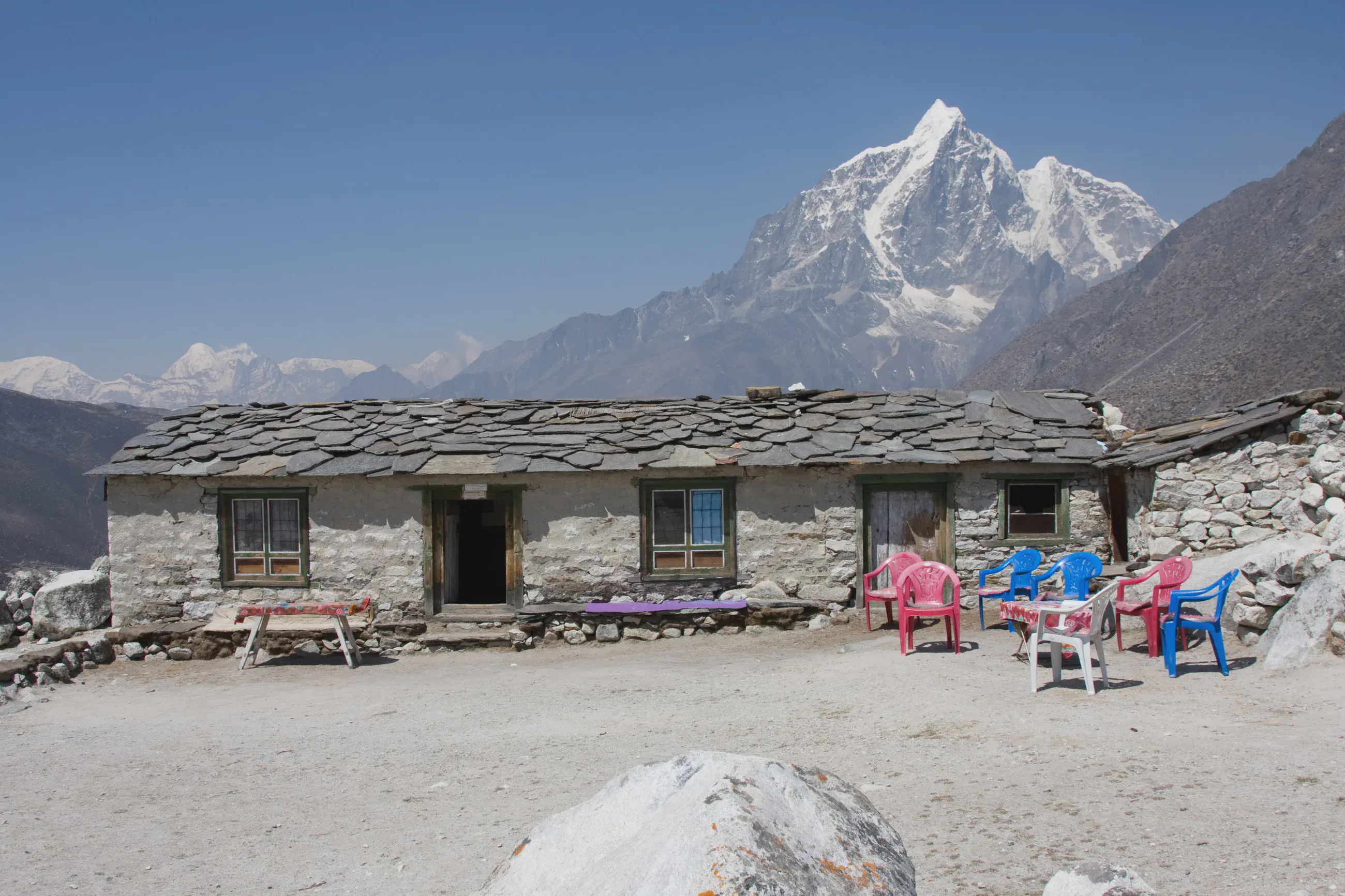
A day up the Imja valley, towards Chhukung, to a viewpoint around 5,030 m by the GPS, then back to Dingboche early in the afternoon.
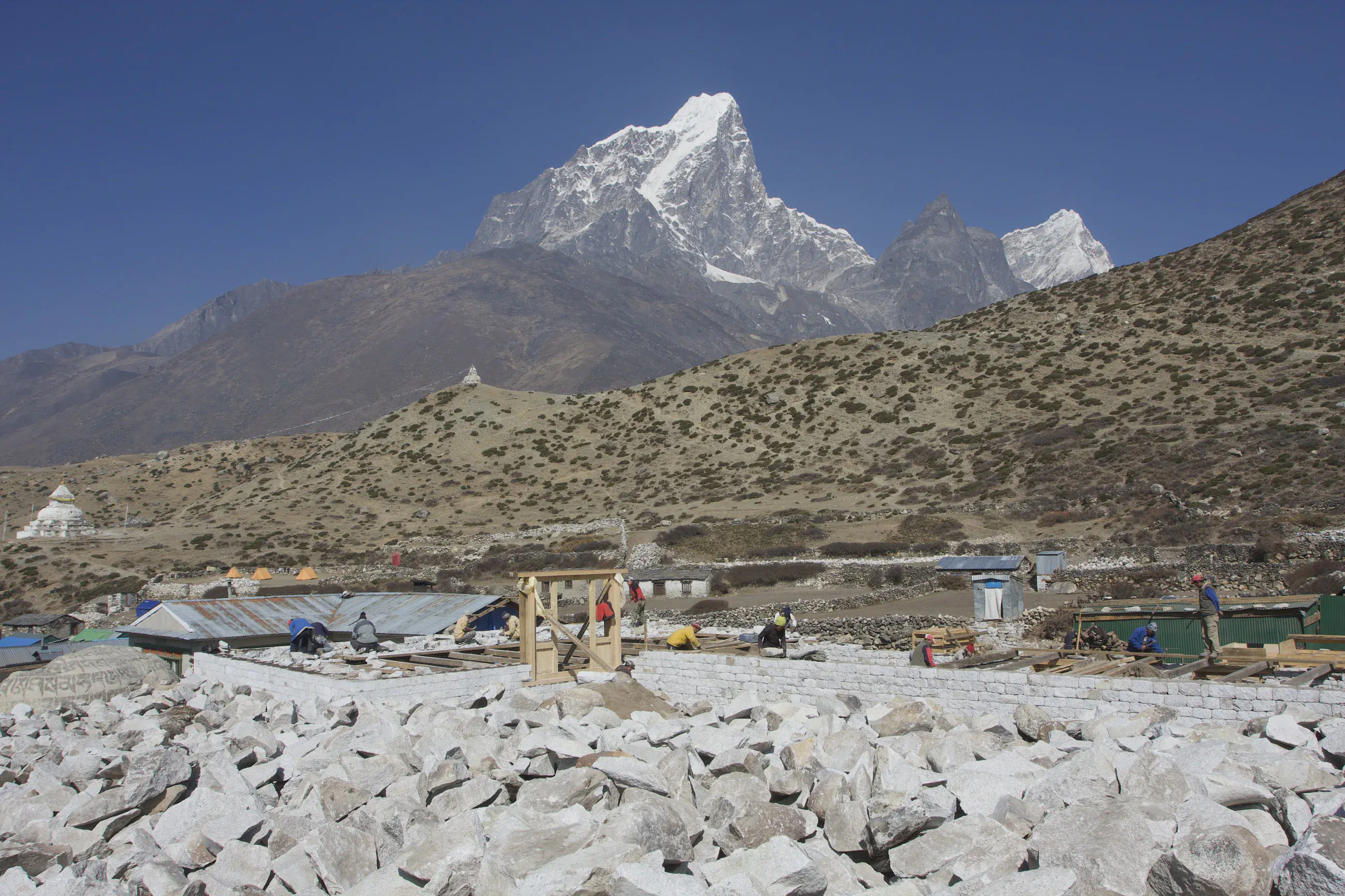
Night at the lodge
- Dingboche The point is 3 m from a lodge that a 2011 trek account calls “Peaceful Lodge” (to be confirmed).
From the GPS track: where it stops in the evening and starts again in the morning. We always slept in lodges.
Map and profile
Download the GPX track
Hover over the profile to follow the track on the map. The thumbnails show where each photo was taken; click one to enlarge it.
Photos 5