Trekking in Nepal खुम्बु
Français
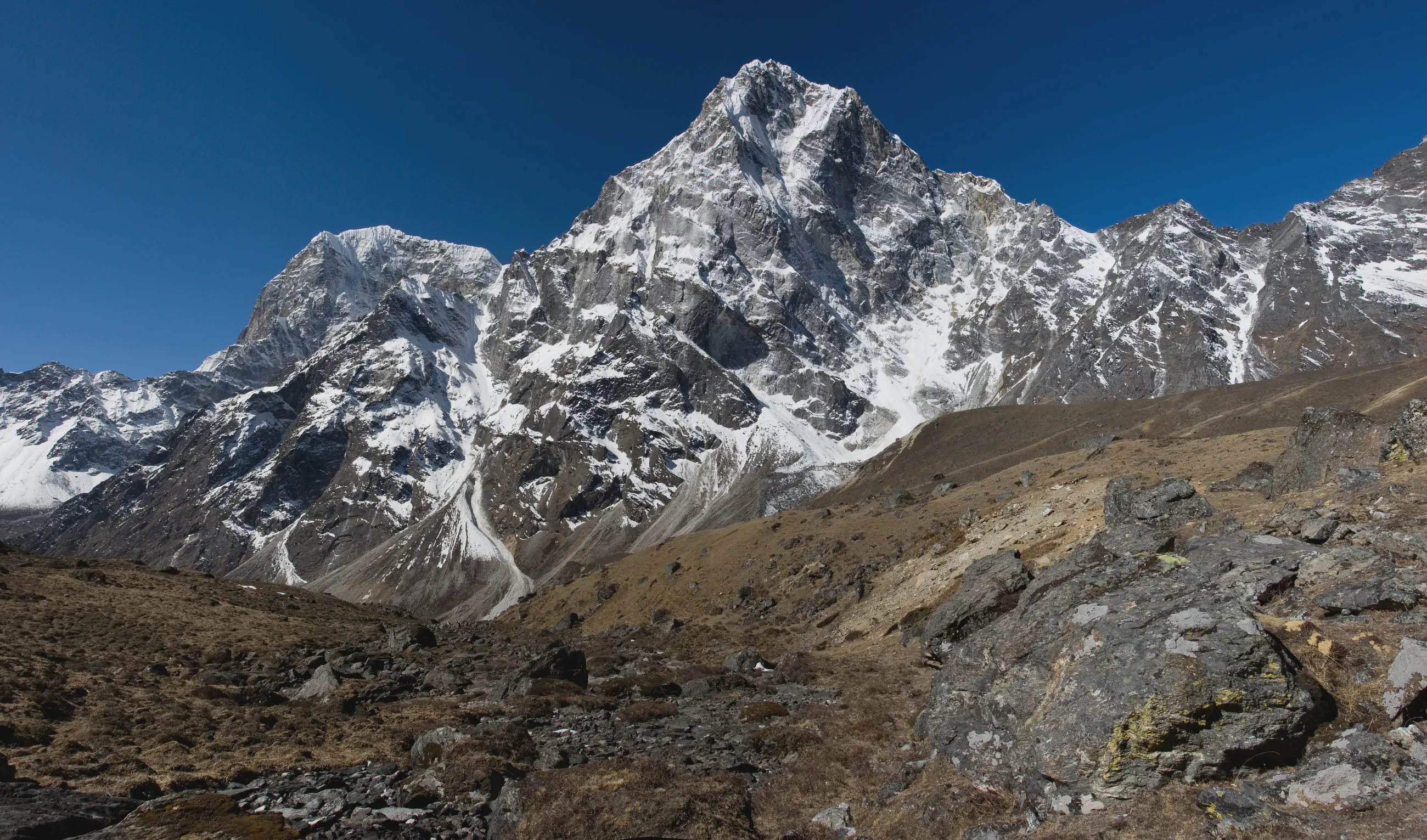
Cover photo: Dzongla – Lobuche

Towards the Khumbu valley

View 7 photos
Distance
6.2km
Ascent
214m
117 m of descent
Walking time
1 h 22
1 h 50 with breaks
High point
4,922m
low point 4,748 m
Season
Spring
April 2008

Photos 7

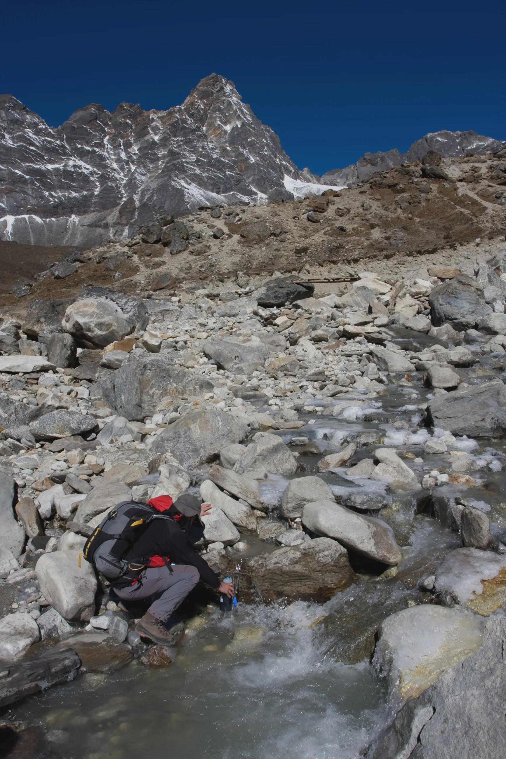
Filling a water bottle at the stream, below a rocky ridge
Shortly after Dzongla, at about 4,780 m: filling a water bottle at the stream, below a snowy rocky ridge.

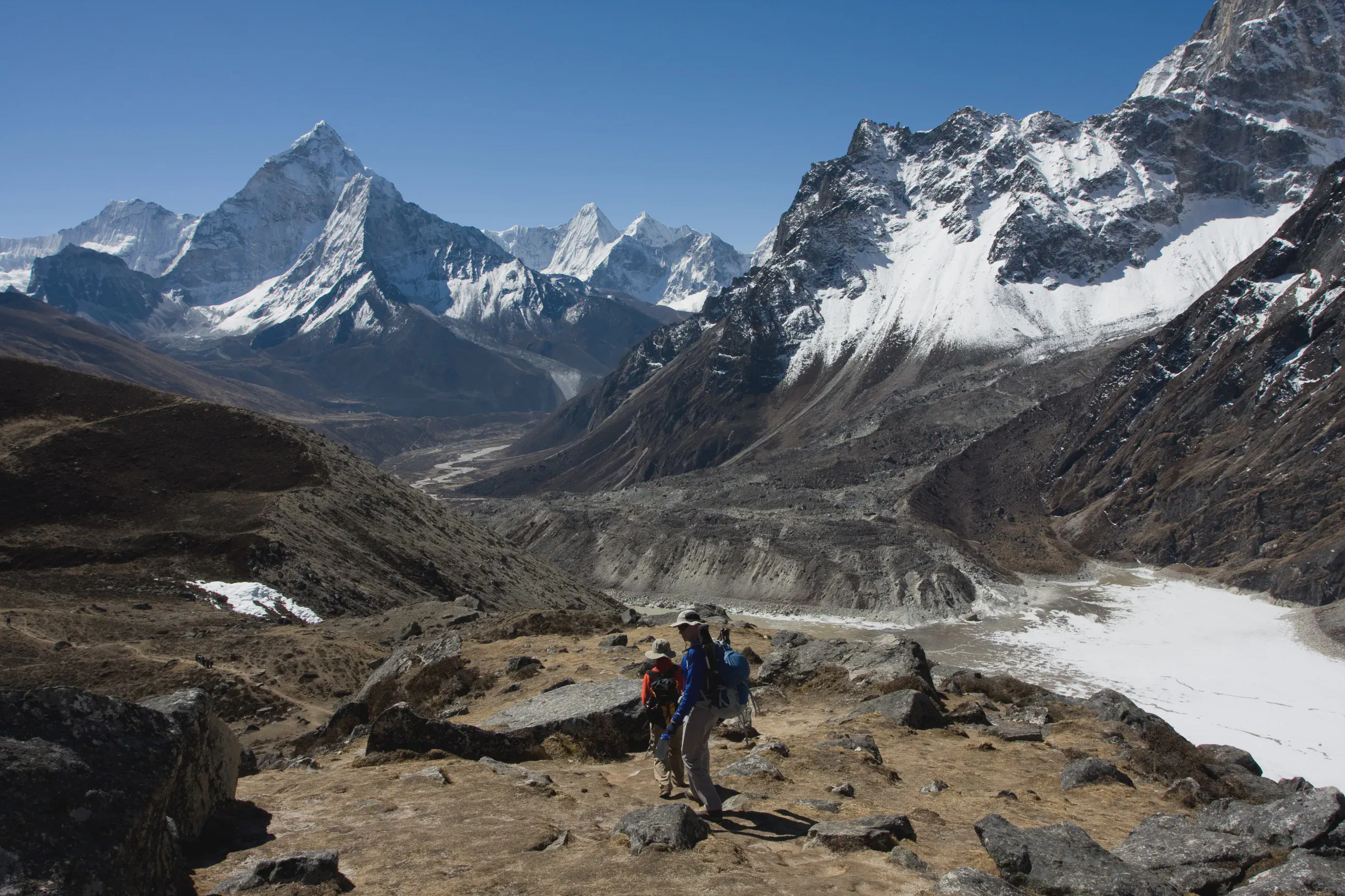
Ama Dablam at the end of the valley, a frozen lake below
Towards Lobuche, at about 4,810 m: Ama Dablam (6,814 m) at the end of the valley, the snowy flank of Taboche on the right and a frozen lake below.

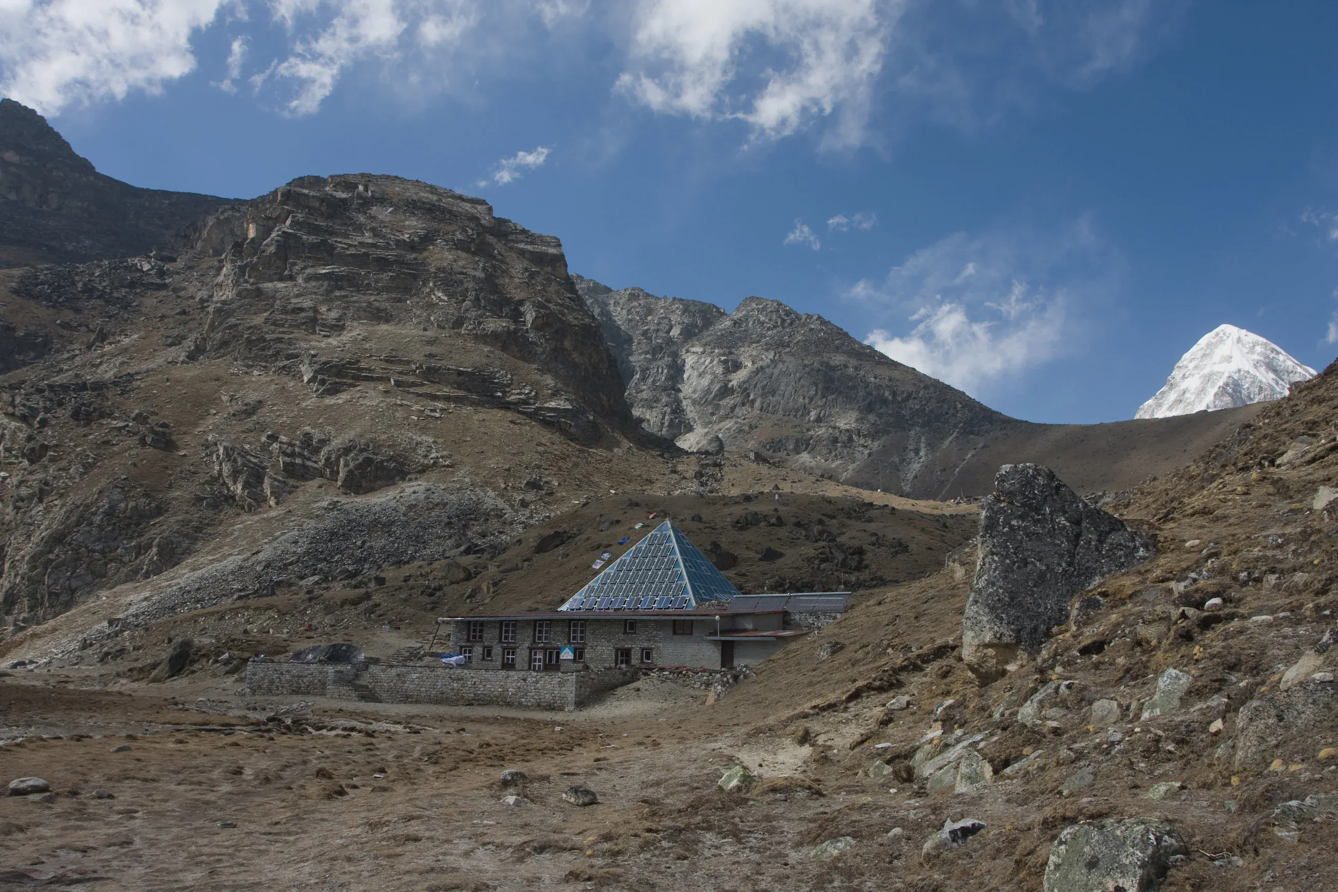
The Pyramid, the Ev-K2-CNR laboratory, near Lobuche
Near Lobuche, in the afternoon: the Pyramid, the Italian Ev-K2-CNR high-altitude laboratory, at the foot of a rocky slope.

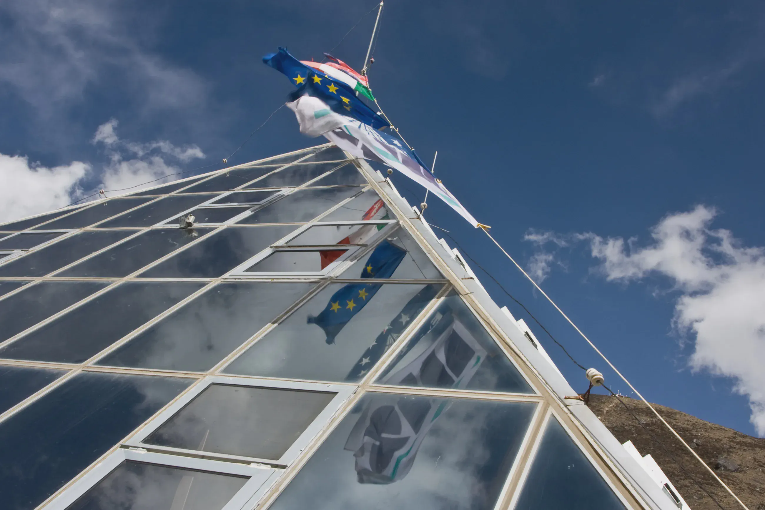
The glass top of the Ev-K2-CNR Pyramid and its flags
The Ev-K2-CNR Pyramid near Lobuche: the glass structure and its flags, including the flag of the European Union.

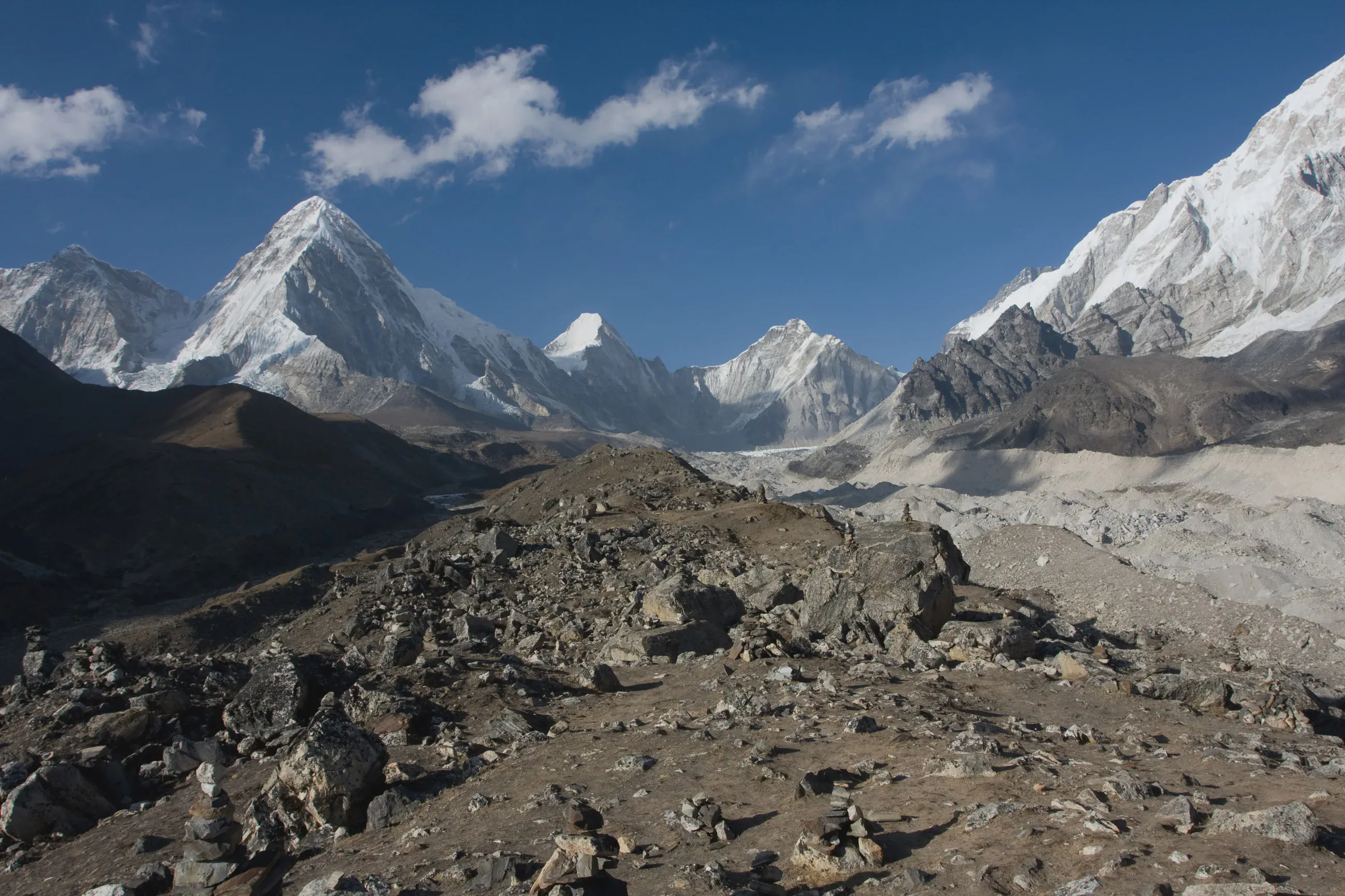
Pumori above the Khumbu glacier, cairns in the foreground
Late afternoon on the moraine near Lobuche: Pumori (7,138 m), Lingtren (6,714 m), Khumbutse (6,636 m) and, on the right, the flank of Nuptse (7,864 m) above the Khumbu glacier; cairns in the foreground.

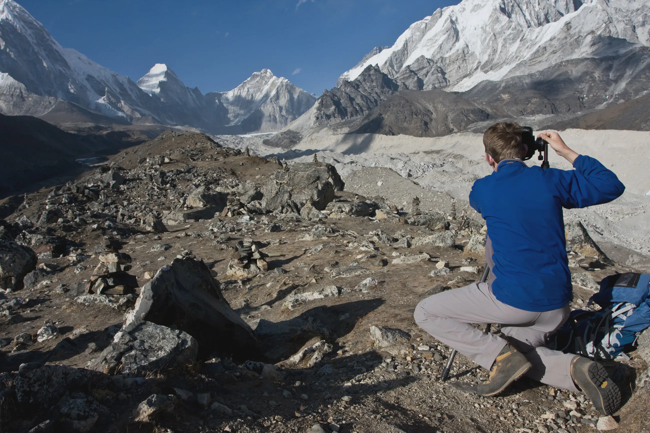
A photographer from behind facing the Khumbu glacier
On the moraine near Lobuche: a photographer from behind facing the Khumbu glacier, Pumori and Lingtren in the distance, Nuptse on the right.

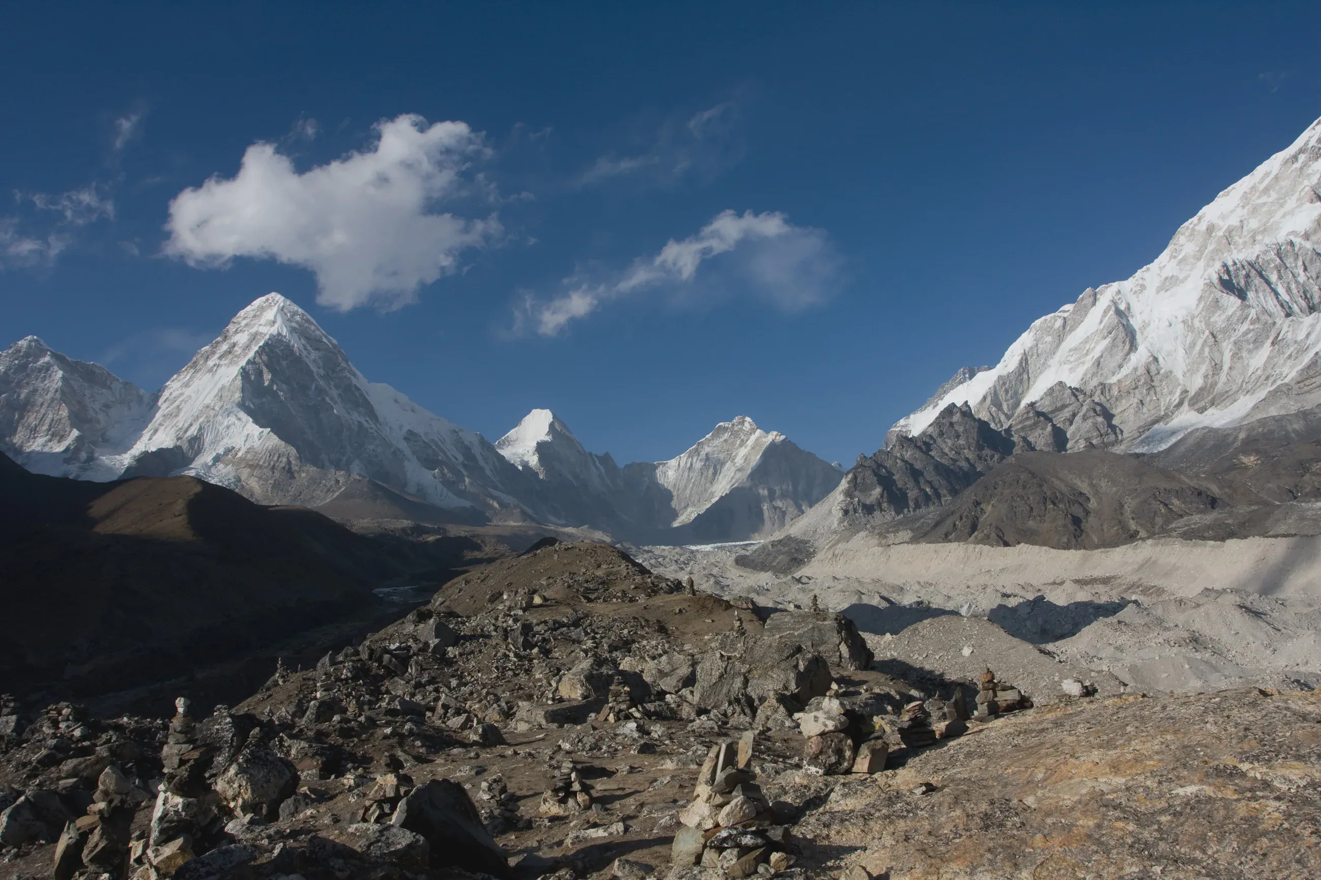
Pumori and Nuptse above the Khumbu glacier, around 5 pm
On the moraine near Lobuche, around 5 pm: Pumori, Lingtren and Khumbutse above the Khumbu glacier, Nuptse on the right.