Up Gokyo Ri early in the morning: the GPS reads 5,378 m at the top. Back in Gokyo around noon. After lunch we cross the Ngozumpa glacier, between moraines and frozen pools, to Thagnak, around 4,700 m, reached around 15:30.
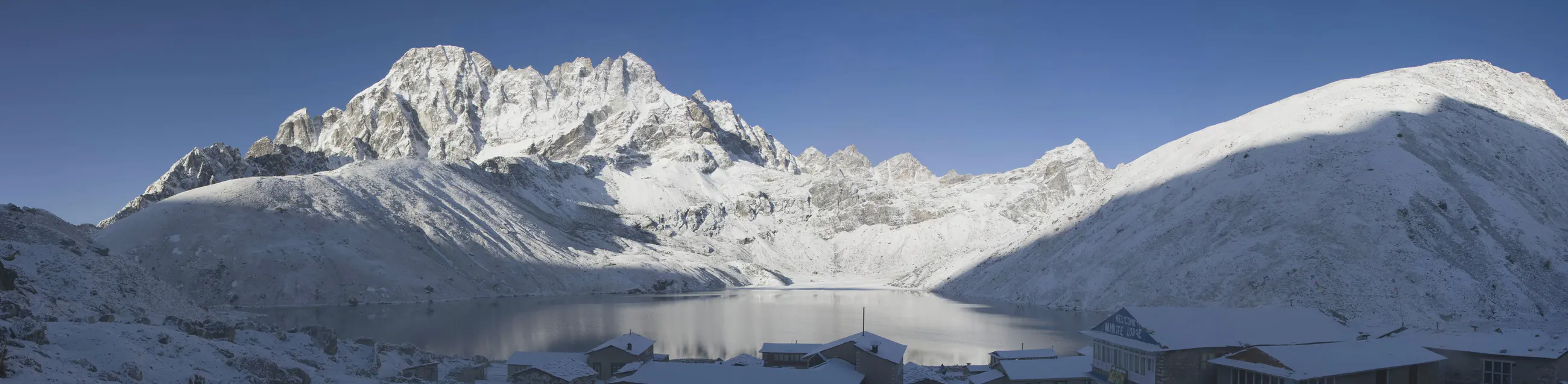
Panorama: Gokyo lake at dawn after a snowfall, from the village, at about 4,760 m; Machhermo Peak (6,017 m) on the left, the slopes of Gokyo Ri on the right; below, the snow-covered roofs of the lodges. Image cropped at the bottom.
Night at the lodge
Thagnaknight of April 17 · on the mapThe point is 12 m from a lodge that a 2003 trek account calls “Tashi Friendship Lodge” (to be confirmed).
From the waypoint marked on the GPS at the lodge during the trek.
Gokyo Ri – Ngozumpa glacier – Thagnak · Track of April 17, 2008nepal.internet-village.net
Map and profile
Download the GPX trackHover over the profile to follow the track on the map. The thumbnails show where each photo was taken; click one to enlarge it.
Photos 13
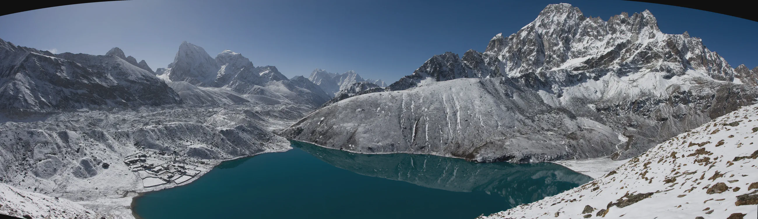
Panorama: Gokyo lake and the village on its shore, the Ngozumpa glacier on the left; in the distance, Cholatse (6,423 m), Taboche (6,495 m), then Kangtega (6,783 m) and Thamserku (6,623 m). On the slopes of Gokyo Ri, at about 4,930 m, under fresh snow.
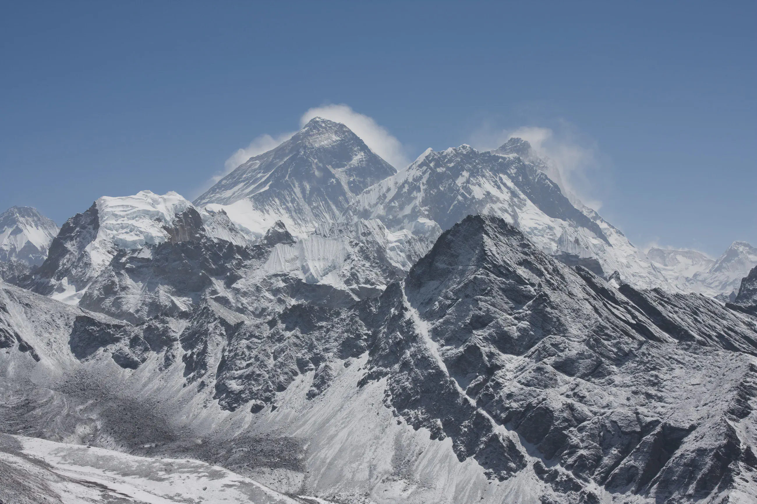
On the summit of Gokyo Ri, at about 5,360 m: Everest with its plume of cloud, Lhotse on the right and Changtse (7,543 m) on the left.
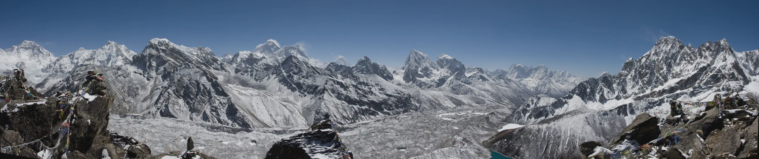
Panorama: on the summit of Gokyo Ri, at about 5,370 m, Everest and Lhotse on the left, Makalu in the distance, then Cholatse, Taboche and Kangtega; the Ngozumpa glacier below, cairns and snowy rocks in the foreground.
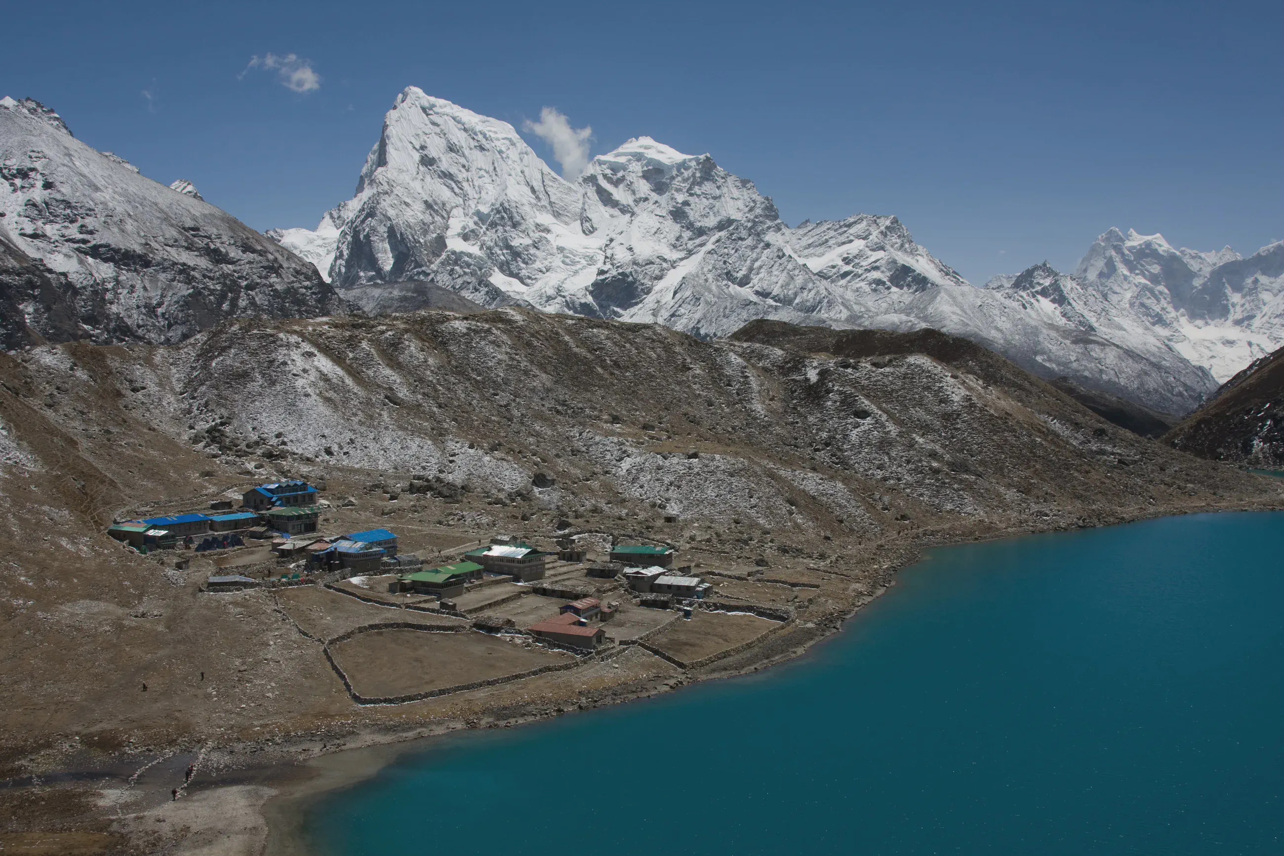
Coming down from Gokyo Ri, at about 4,880 m: Gokyo village on the lake shore, below Cholatse, Taboche and Kangtega.
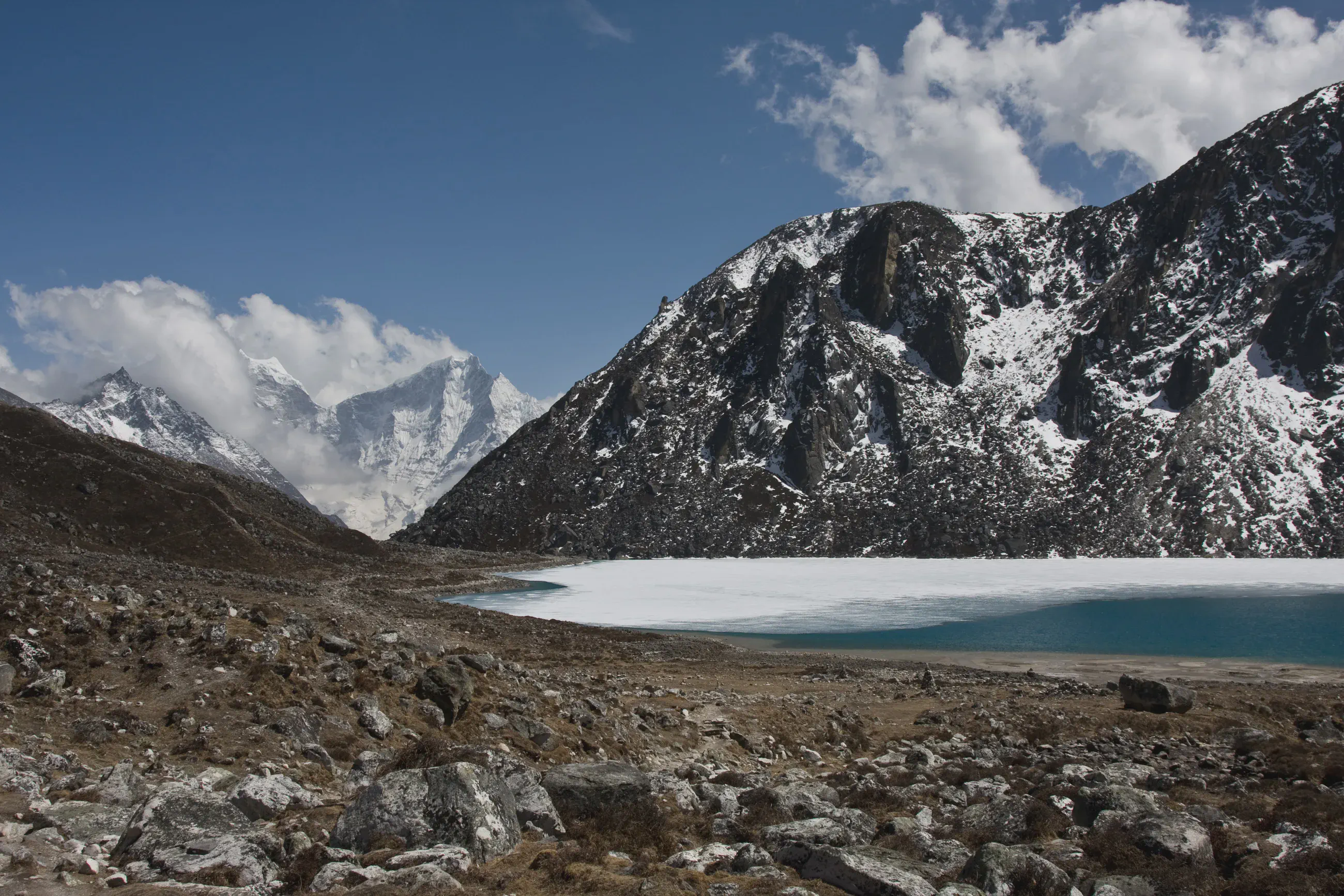
South of Gokyo, at about 4,750 m, at the start of the crossing: Gokyo lake, partly frozen, below a snowy rock mountain; in the distance, peaks in the clouds.
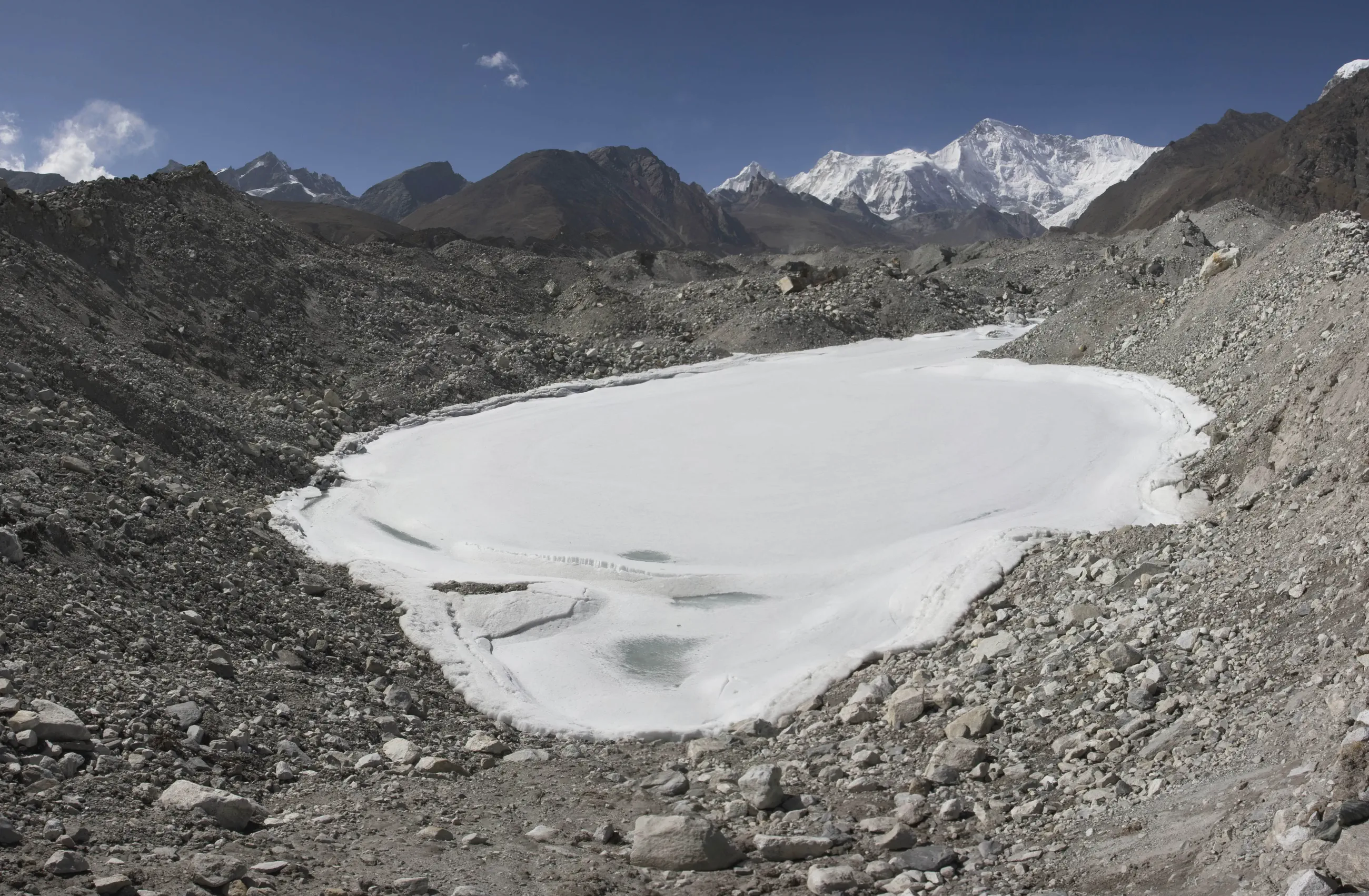
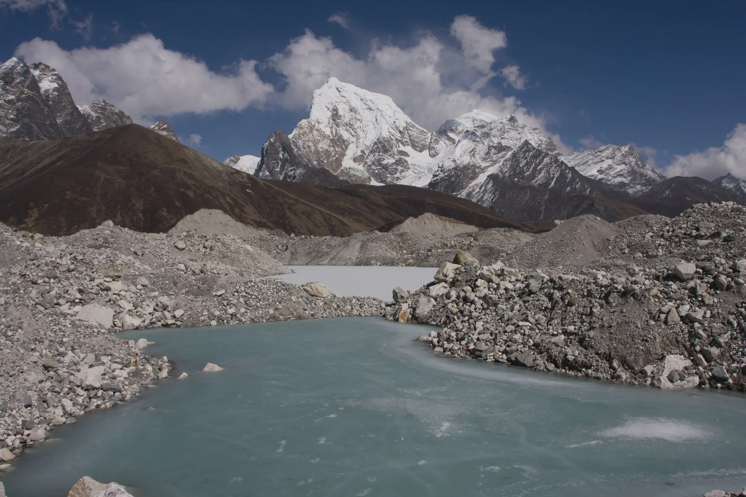
Panorama: on the Ngozumpa glacier, at about 4,710 m, the stones of the glacier and a frozen lake; Cho Oyu (8,201 m) on the left, then Cholo (6,043 m) above a long dark ridge, Cholatse and Taboche on the right.
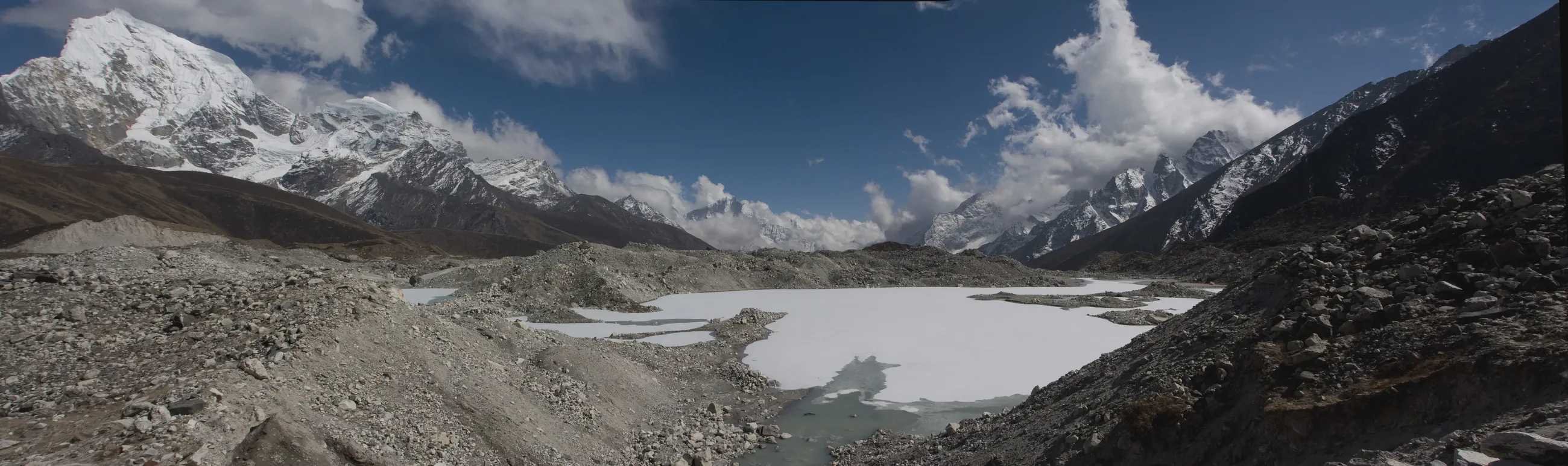
Panorama: on the Ngozumpa glacier, at about 4,730 m, a frozen lake between the moraines; Cholatse and Taboche on the left, peaks in the clouds in the distance.
Panorama: on the Ngozumpa glacier, at about 4,720 m, a frozen pond between heaps of stones; in the distance, up the glacier to the north, Cho Oyu.
On the Ngozumpa glacier, at about 4,720 m: a frozen pond and an ice-covered lake between heaps of stones, below Cholatse and Taboche.
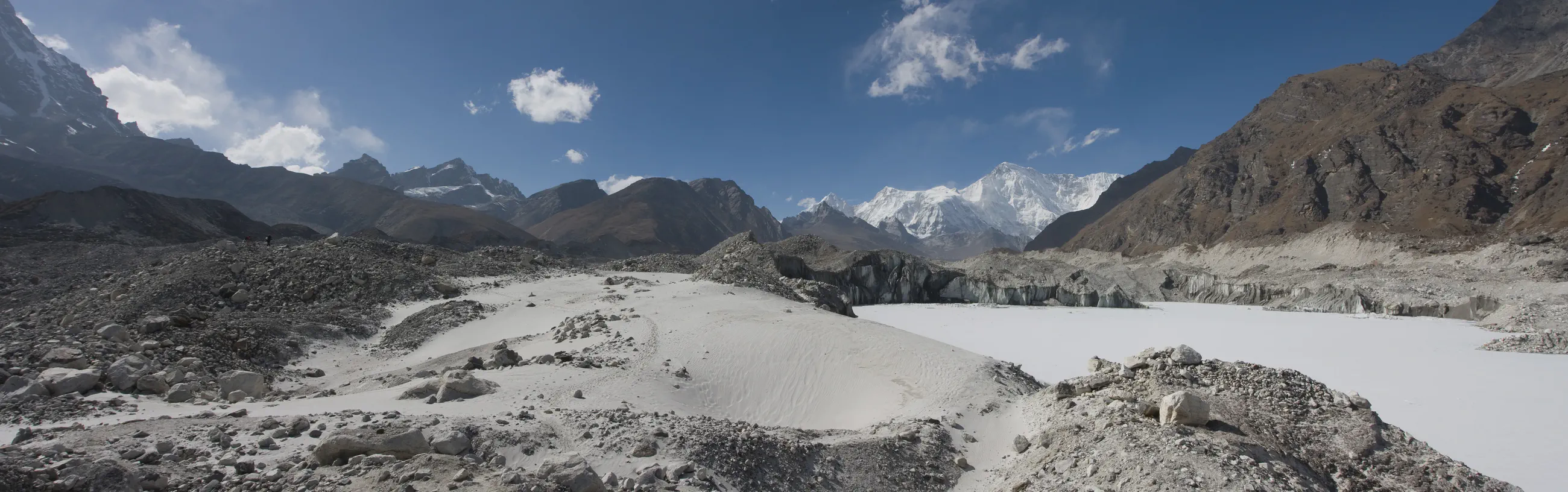
Panorama: on the Ngozumpa glacier, at about 4,720 m, a frozen lake lined with ice cliffs and sand; in the distance, up the glacier to the north, Cho Oyu.
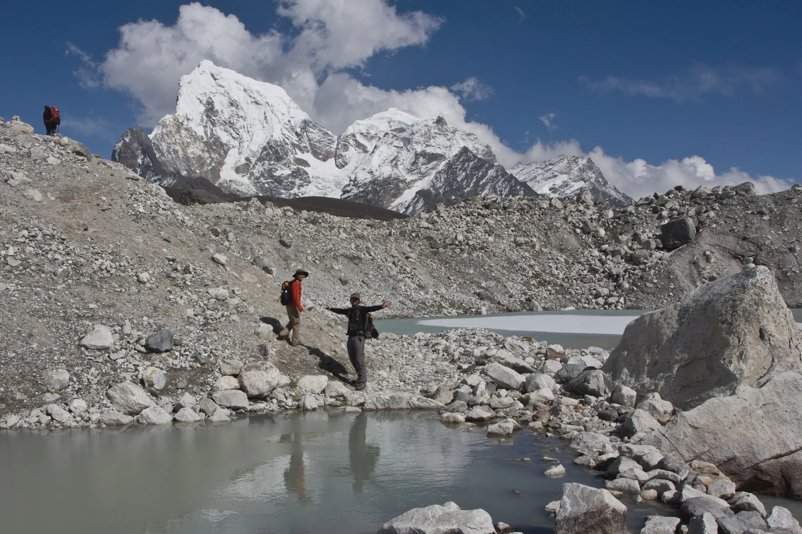
On the Ngozumpa glacier, at about 4,710 m: two walkers by a pond, Cholatse in the clouds.
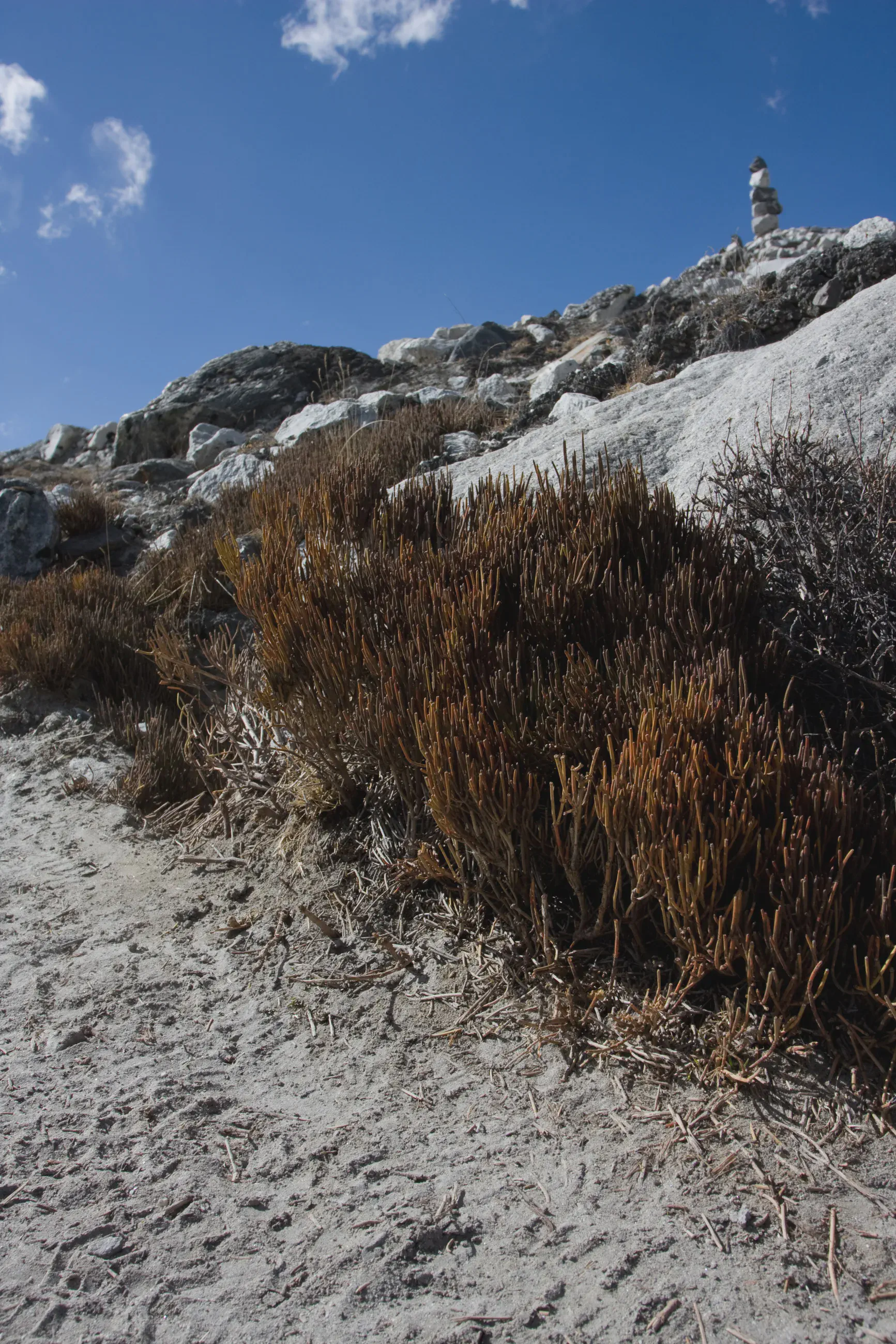
Leaving the Ngozumpa glacier, at about 4,680 m, shortly before Thagnak: dry shrubs along the path and a cairn on the moraine crest.
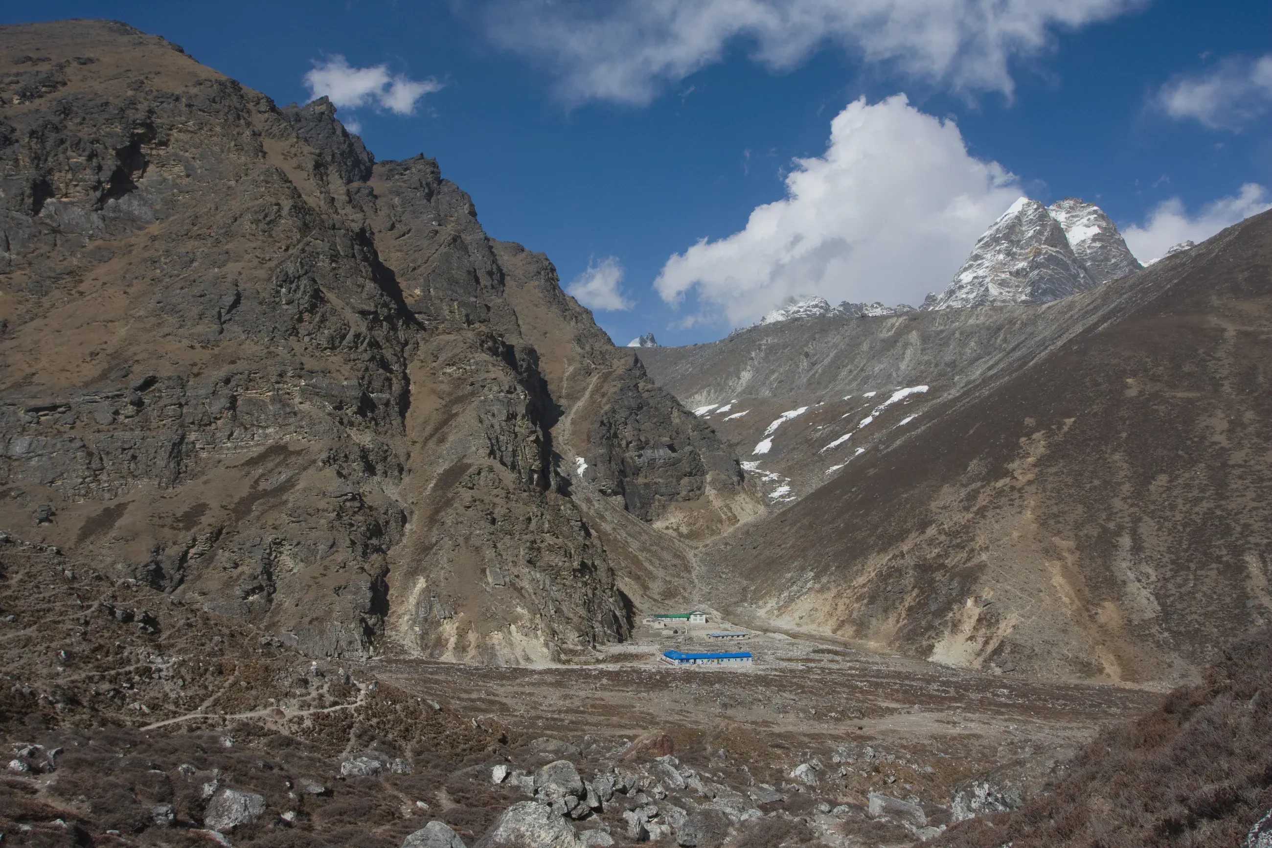
Thagnak, at about 4,680 m: the lodges at the bottom of the valley, between rock walls, and a snowy peak on the right.