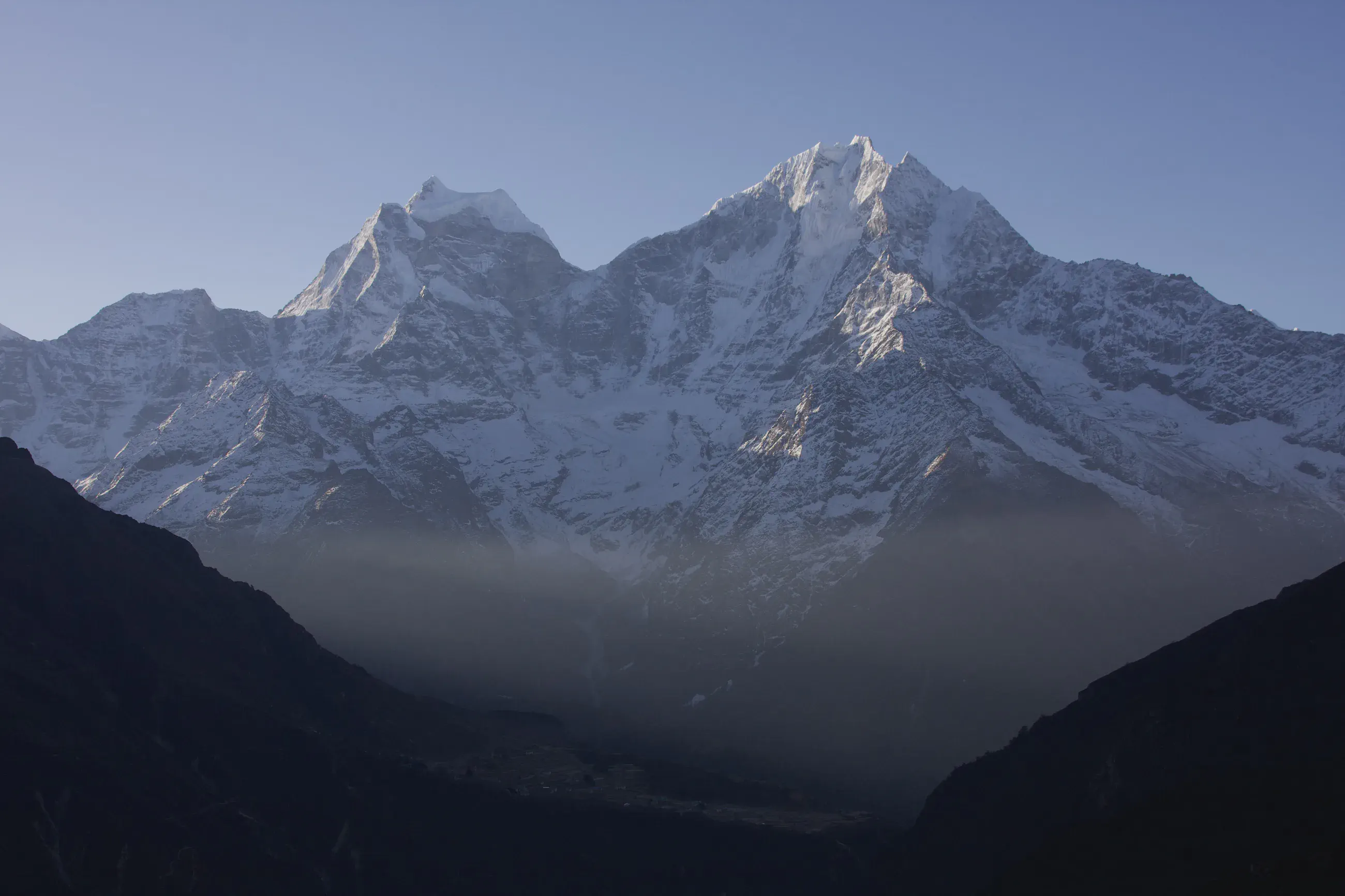
Trekking in Nepal खुम्बु
Français
Cover photo: Dole – Machhermo

A short stage to Machhermo

View 7 photos
Distance
9.5km
Ascent
772m
428 m of descent
Walking time
3 h 19
9 h 00 with breaks
High point
4,756m
low point 4,027 m
Season
Spring
April 2008

Photos 7

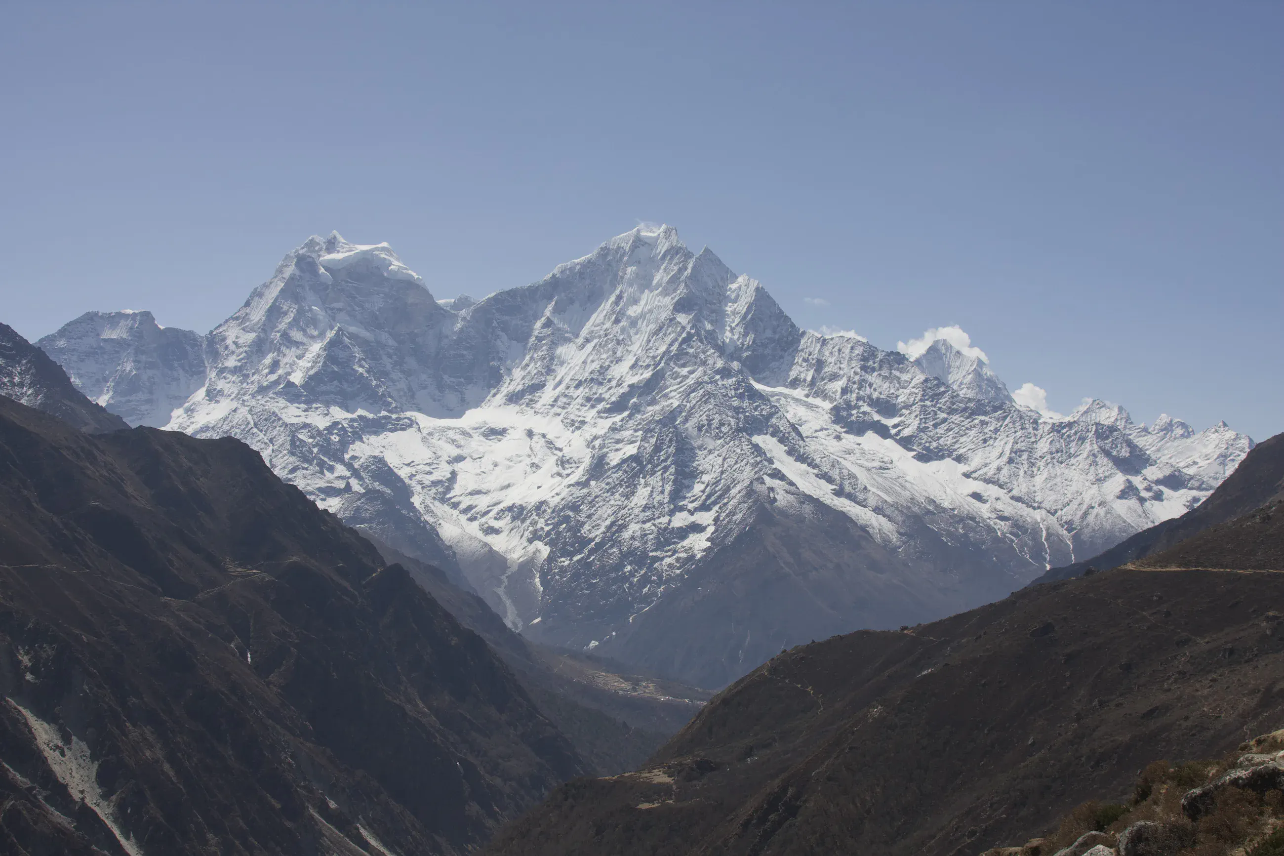
Deep valley below snow-covered Kangtega and Thamserku
On the trail to Machhermo, around 4,330 m: the Dudh Kosi valley looking south, below Kangtega and Thamserku.

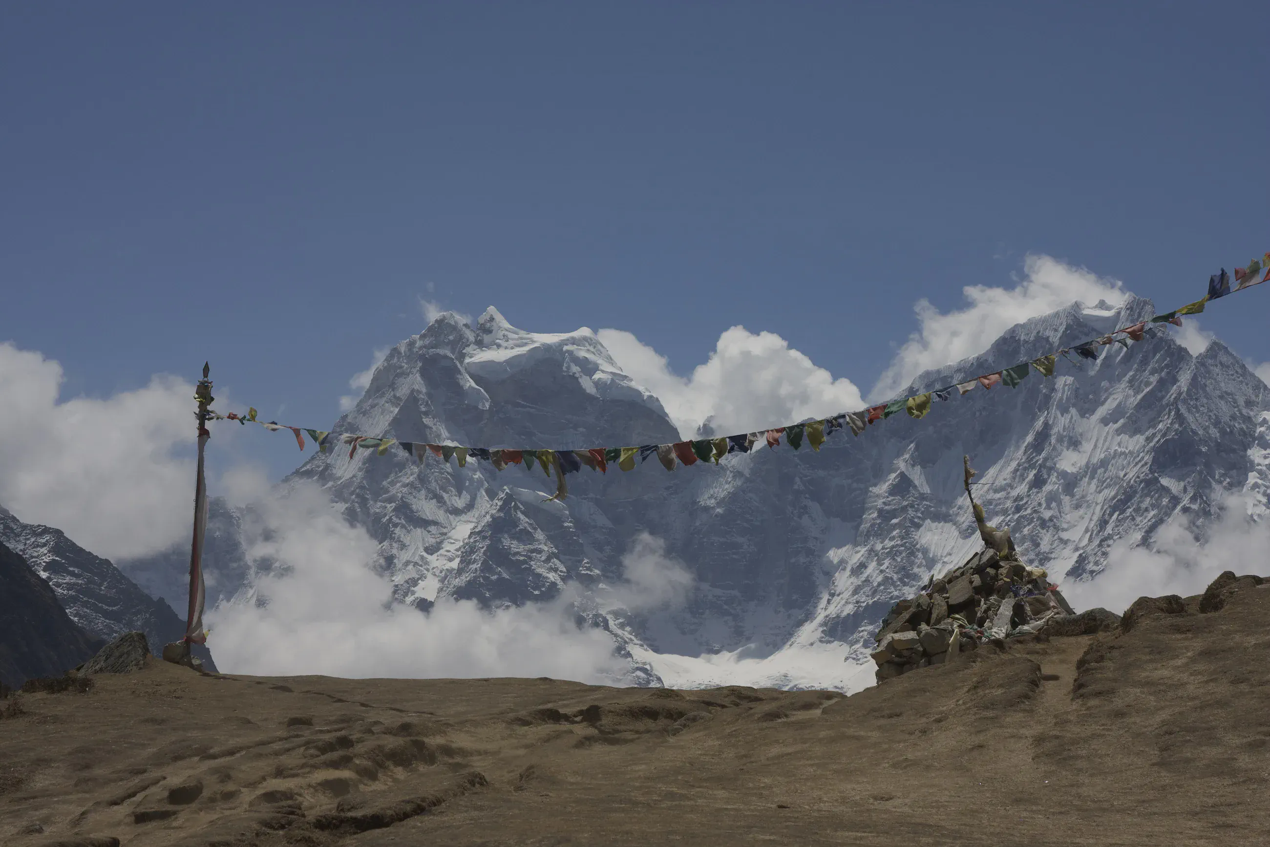
String of prayer flags and a cairn in front of Kangtega and Thamserku
Prayer flags and a cairn on arrival at Machhermo, around 4,430 m; behind, Kangtega and Thamserku between the clouds.

Stony valley floor and stream, peaks under the clouds
At Machhermo, around 4,390 m: the stream and the stony valley floor, the peaks under the clouds.

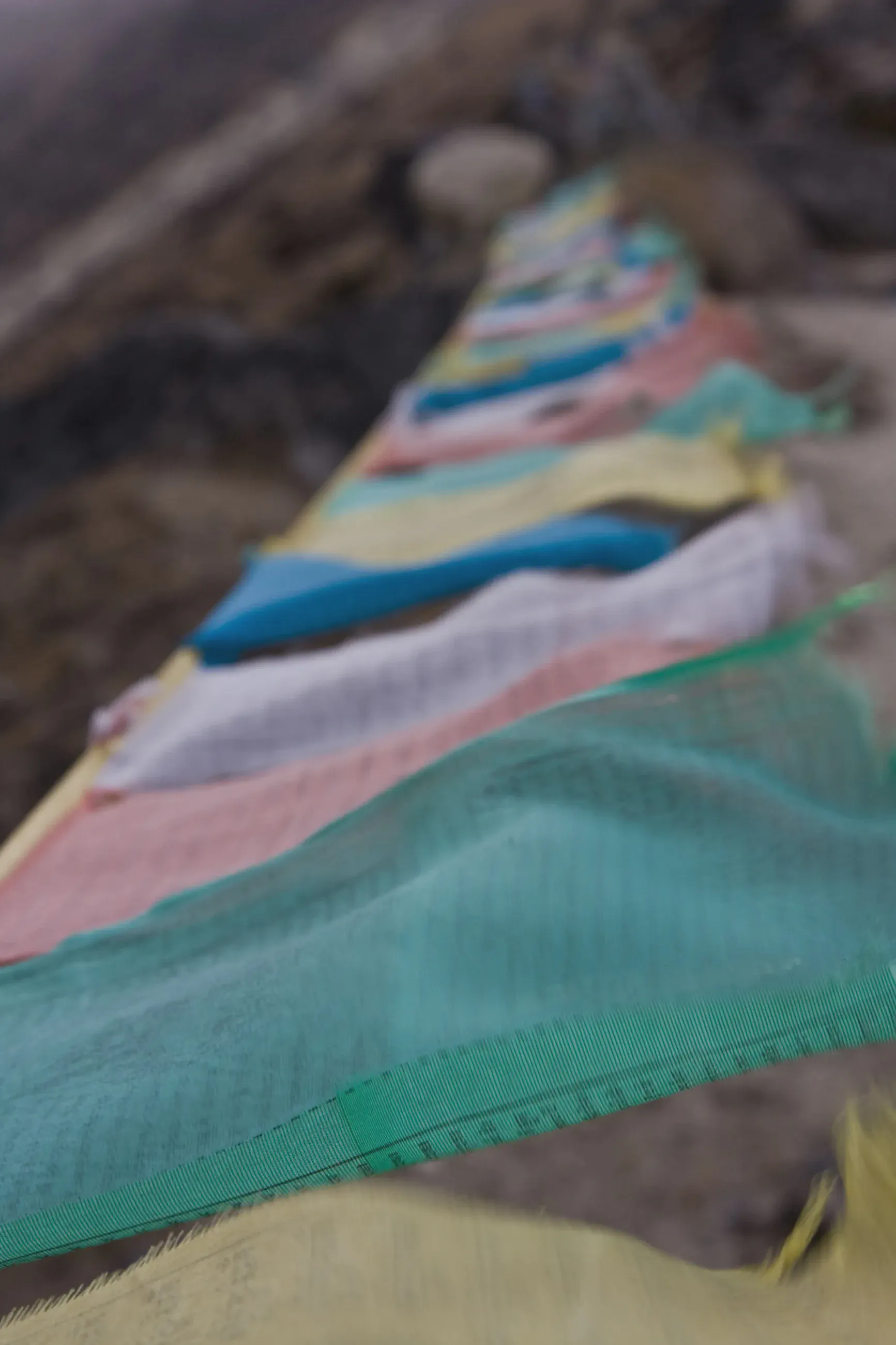
Colourful prayer flags blowing in the wind
Prayer flags blowing in the wind on the climb to the stupa above Machhermo, around 4,580 m.

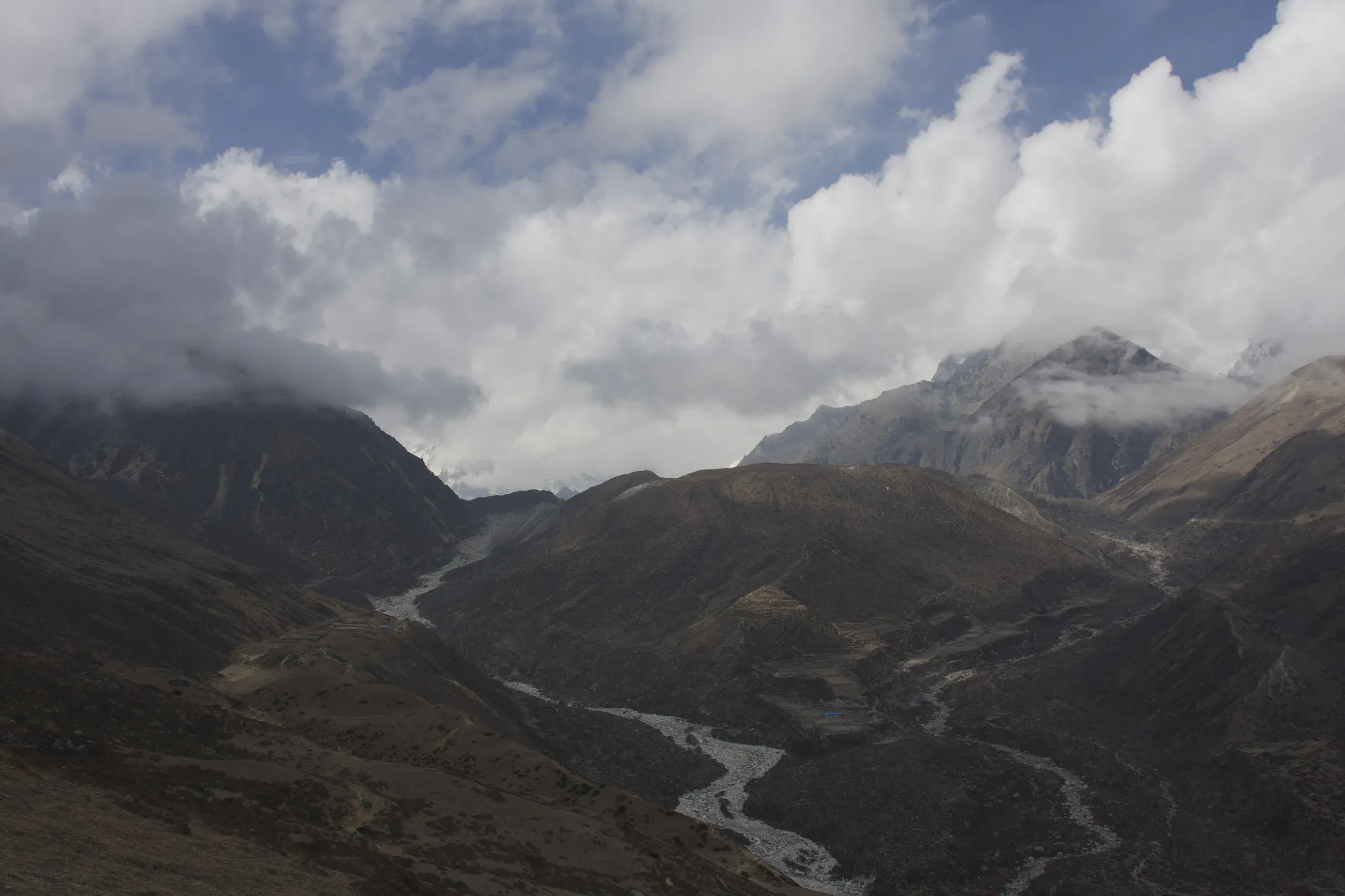
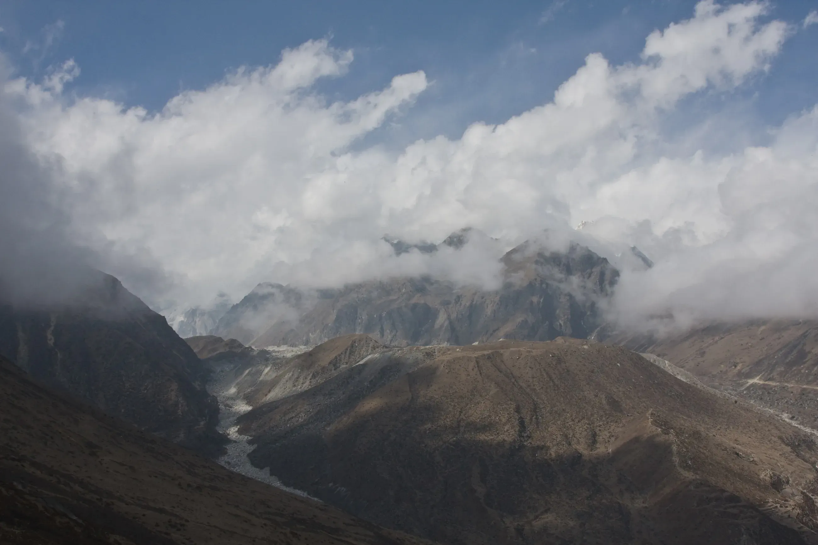
Valley and moraines under thick clouds
From the climb to the stupa above Machhermo, around 4,600 m: a valley and its moraines under the clouds.

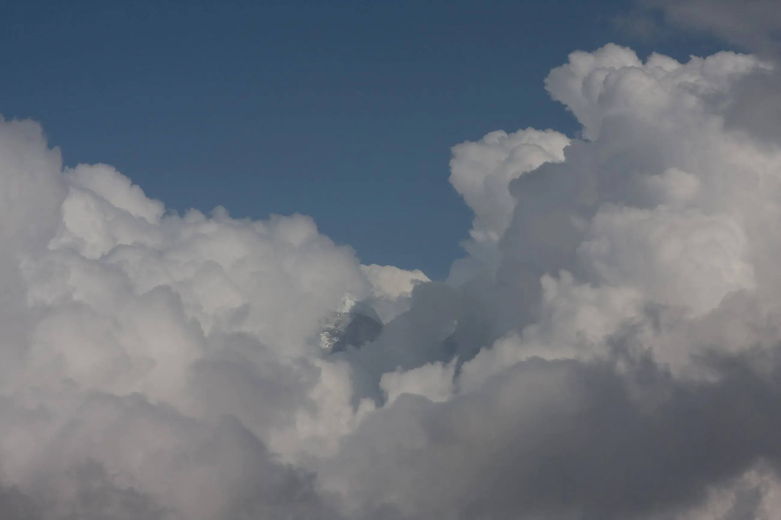
A snow peak showing between cumulus clouds
Above Machhermo, around 4,650 m, a snow peak shows between the cumulus clouds.

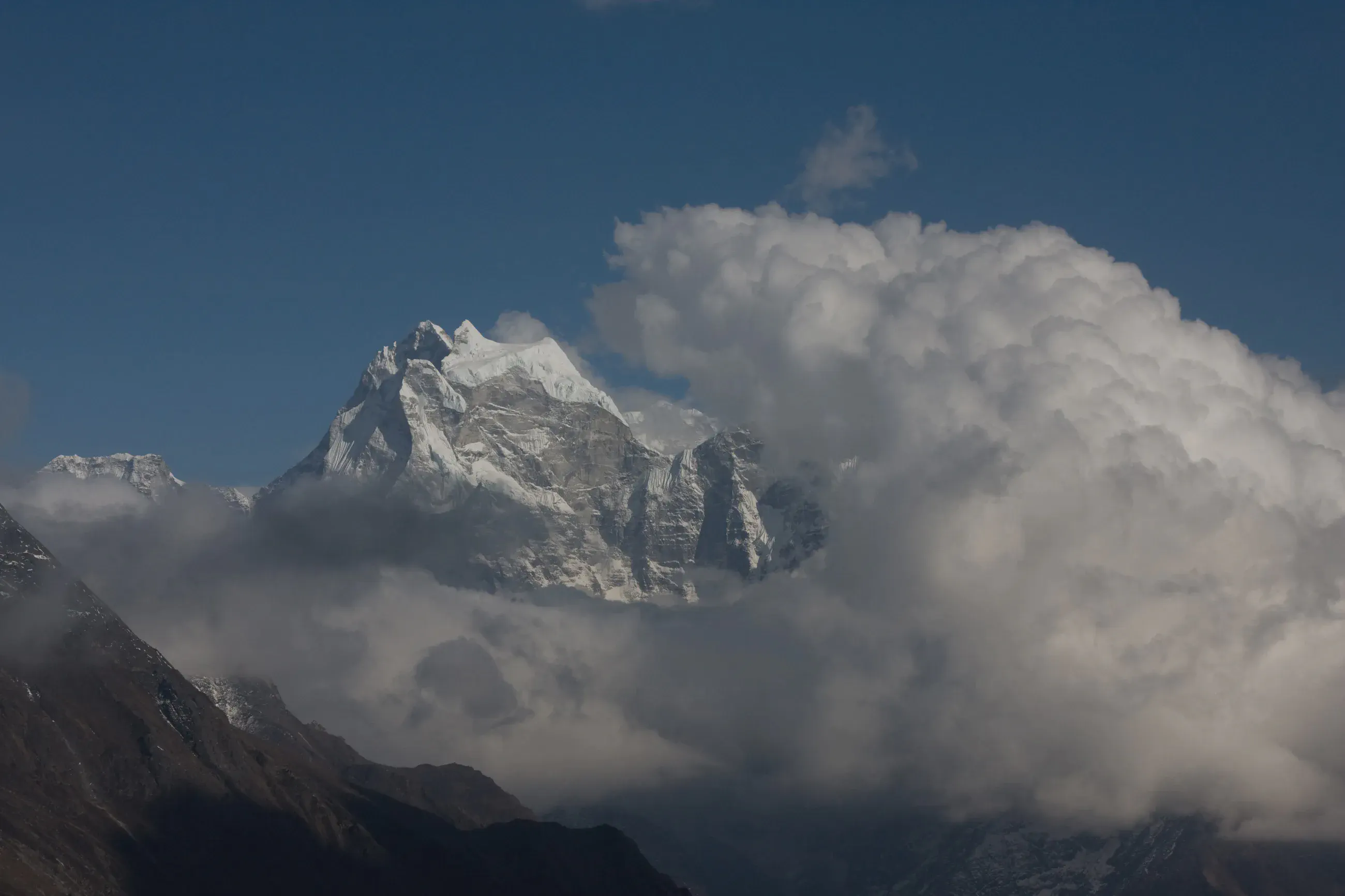
Kangtega rising out of a large cloud
Kangtega rising out of a large cloud, seen from near the stupa above Machhermo, around 4,700 m.